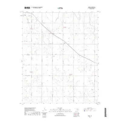
2019 Map of Bruno
USGS Topo · Published 2019About this map
Bruno sits at a geographic nexus in central Atoka County, where the transition from higher ground near Scratch Hill gives way to a complex network of drainage basins. The landscape is defined by the winding course of Muddy Boggy Creek and its numerous tributaries, including Tumbler Cr, Caney Cr, and Rock Cr, which carve through the land in a series of wooded draws and clearings. This region, documented in 2019, reflects a traditional rural Oklahoma settlement pattern where community life is anchored by family and local churchyards.
Find a feature on this map
62 named features on this map. Tap any name to fly to it.
Don’t see what you’re looking for? This feature index may not catch every label — zoom into the map to look around manually.
Map Details
Editions of this 2019 Bruno Map
This is the sole edition of this map. No revisions or reprints were ever made.
Other maps of this area

1899 · Atoka
USGS Topo · 1:125,000

1900 · Atoka
USGS Topo · 1:125,000

1901 · Antlers
USGS Topo · 1:125,000

1912 · Antlers
USGS Topo · 1:125,000

1925 · Antlers
USGS Topo · 1:125,000

1950 · Mcalester
USGS Topo · 1:250,000

1956 · Stringtown
USGS Topo · 1:24,000

1957 · Lane NW
USGS Topo · 1:24,000

1957 · Lehigh
USGS Topo · 1:24,000

1957 · Bruno
USGS Topo · 1:24,000