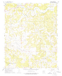
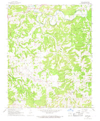
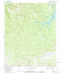
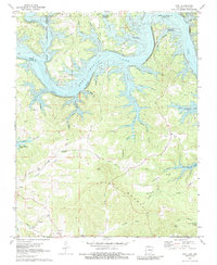
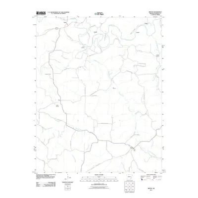
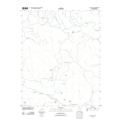
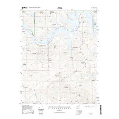
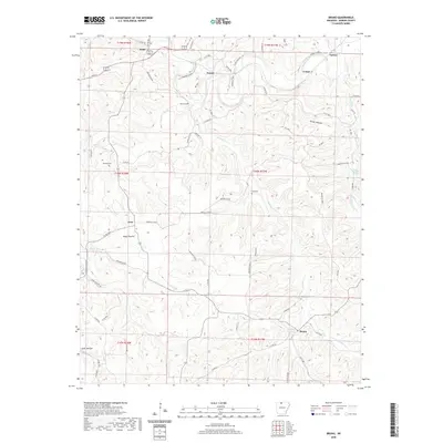
1967 Map of Bruno
USGS Topo · Published 1977About this map
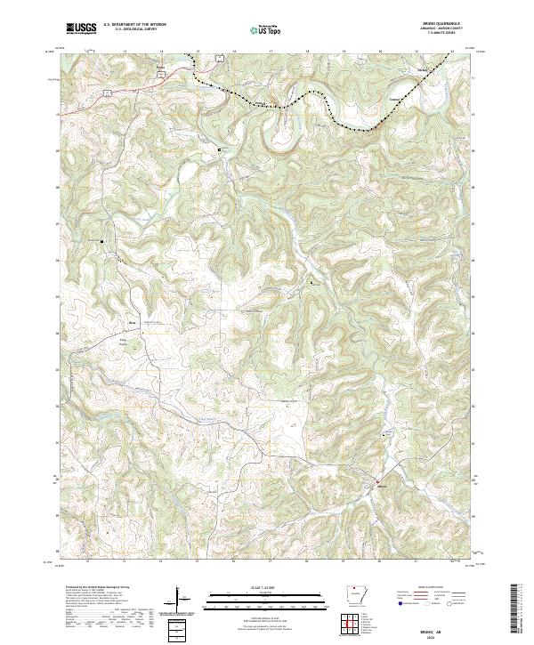
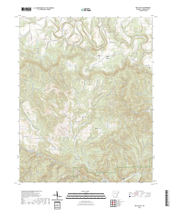
The Missouri Pacific railroad winds through the northern reaches of Marion County, following the meandering course of Crooked Creek near the settlements of Pyatt and Powell. This mid-century landscape is defined by its deep drainage patterns, with prominent watercourses like Clear Creek, Hampton Creek, and Greasy Creek carving through the terrain. The map captures a moment when traditional rural centers remained vital, documented through the presence of several family and community burial grounds including Patton Cem, Stanley Cem, Hall Cem, and Bruno Cem.
Find a feature on this map
30 named features on this map. Tap any name to fly to it.
Don’t see what you’re looking for? This feature index may not catch every label — zoom into the map to look around manually.
Map Details
Editions of this 1967 Bruno Map
2 editions found
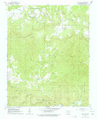
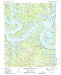
Historical Maps of Pyatt Through Time
33 maps found
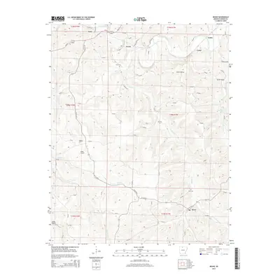
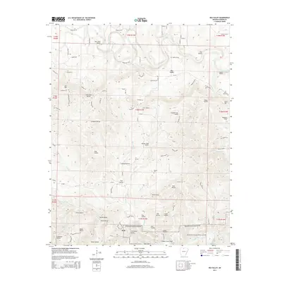
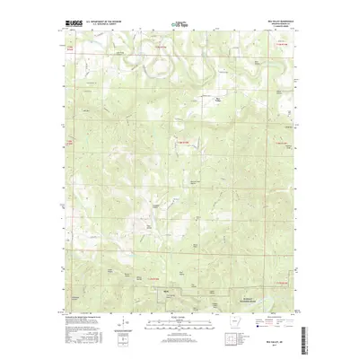
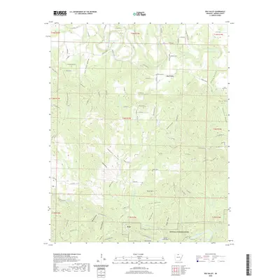
1966 Rea Valley
Marion County, AR
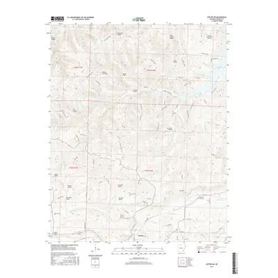
1967 Bruno
Marion County, AR
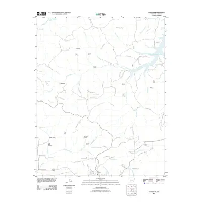
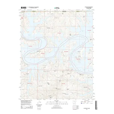
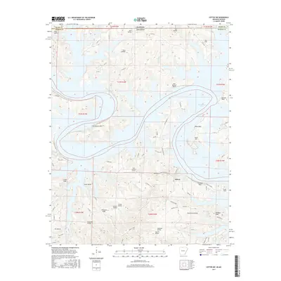
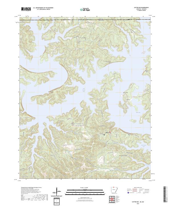
1972 Cotter NW
Marion County, AR
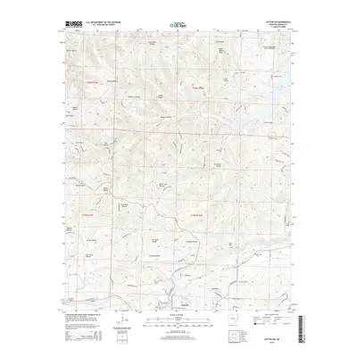
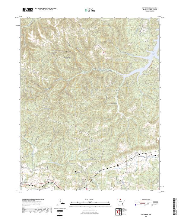
1972 Cotter SW
Marion County, AR
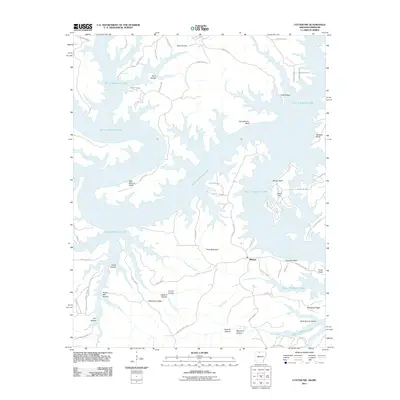
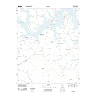
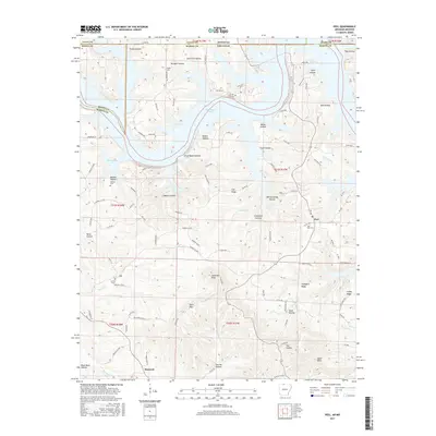
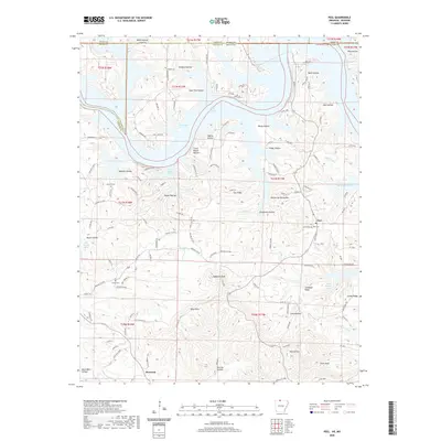
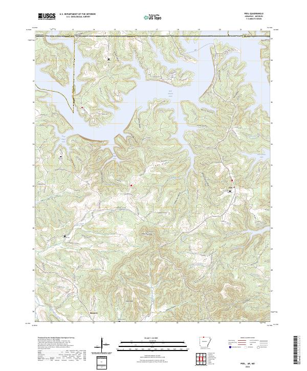
1972 Peel
Marion County, AR
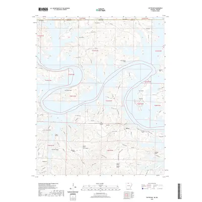
1979 Cotter NW
Marion County, AR
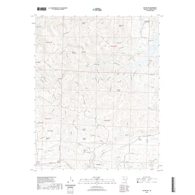
1979 Cotter SW
Marion County, AR

1985 Bull Shoals Lake
Marion County, AR
2011 Bruno
Marion County, AR
2011 Cotter NW
Marion County, AR
2011 Cotter SW
Marion County, AR
2011 Peel
Marion County, AR
2011 Rea Valley
Marion County, AR
2014 Bruno
Marion County, AR
2014 Cotter NW
Marion County, AR
2014 Cotter SW
Marion County, AR
2014 Peel
Marion County, AR
2014 Rea Valley
Marion County, AR
2017 Bruno
Marion County, AR
2017 Cotter NW
Marion County, AR
2017 Cotter SW
Marion County, AR
2017 Peel
Marion County, AR
2017 Rea Valley
Marion County, AR
2020 Bruno
Marion County, AR
2020 Cotter NW
Marion County, AR
2020 Cotter SW
Marion County, AR
2020 Peel
Marion County, AR
2020 Rea Valley
Marion County, AR
2024 Bruno
Marion County, AR
2024 Cotter NW
Marion County, AR
2024 Cotter SW
Marion County, AR
2024 Peel
Marion County, AR
2024 Rea Valley
Marion County, AR