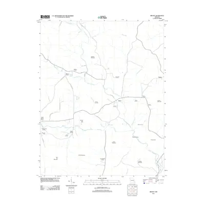
2011 Map of Brunot
USGS Topo · Published 2011About this map
Brunot and the surrounding Ozark foothills are documented here during a period of modern stability, where small settlements and family cemeteries define the rural landscape. The map reveals a network of country roads named for local families, such as Stoney Battery Rd, Grandma Pedrini Rd, and Fern Anderson Rd, reflecting the area's deep-rooted genealogy. Several burial grounds, including Meadows Cemetery and Brewington Cemetery, are situated near the headwaters of Brushy Creek and Crane Pond Creek.
Find a feature on this map
51 named features on this map. Tap any name to fly to it.
Don’t see what you’re looking for? This feature index may not catch every label — zoom into the map to look around manually.
Map Details
Editions of this 2011 Brunot Map
This is the sole edition of this map. No revisions or reprints were ever made.
Other maps of this area

1926 · Des Arc
USGS Topo · 1:62,500

1929 · Des Arc
USGS Topo · 1:62,500

1930 · Coldwater
USGS Topo · 1:62,500

1932 · Piedmont
USGS Topo · 1:62,500

1934 · Greenville
USGS Topo · 1:62,500

1935 · Piedmont
USGS Topo · 1:62,500

1939 · Greenville
USGS Topo · 1:62,500

1949 · Rolla
USGS Topo · 1:250,000

1949 · Coldwater
USGS Topo · 1:62,500

1953 · Rolla
USGS Topo · 1:250,000