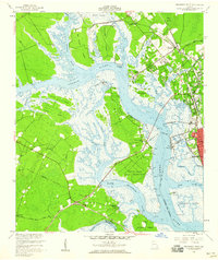
1956 Map of Brunswick West
USGS Topo · Published 1960About this map
The Turtle River and its complex network of tidal creeks and marshes dominate this coastal Georgia landscape during the mid-1950s. The western edge of Brunswick is visible, showing the city's relationship with the Academy Creek waterfront and the Brunswick-Altamaha Canal. Significant land use is recorded at the Blythe Island Naval Reservation, while the surrounding islands like Colonels Island and Crispen Island are separated by deep-water channels and narrow sloughs such as Ratcliffe Slough.
Find a feature on this map
54 named features on this map. Tap any name to fly to it.
Don’t see what you’re looking for? This feature index may not catch every label — zoom into the map to look around manually.
Map Details
Editions of this 1956 Brunswick West Map
2 editions found
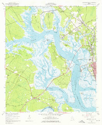
Other maps of this area

1918 · Everett City
USGS Topo · 1:62,500

1918 · Bladen
USGS Topo · 1:62,500

1920 · Everett City
USGS Topo · 1:62,500

1921 · Darien
USGS Topo · 1:62,500

1939 · Bladen
USGS Topo · 1:62,500

1944 · Everett City
USGS Topo · 1:62,500

1945 · Brunswick
USGS Topo · 1:62,500

1946 · Brunswick
USGS Topo · 1:250,000

1948 · Brunswick
USGS Topo · 1:250,000
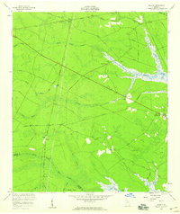
1956 · Bladen
USGS Topo · 1:24,000