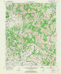
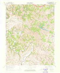
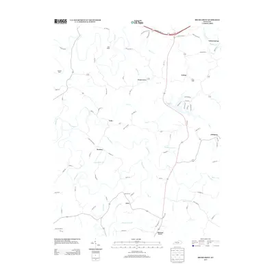
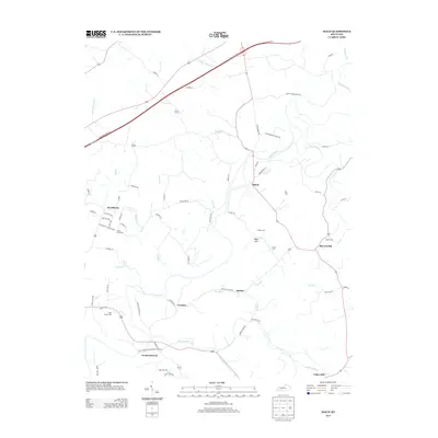
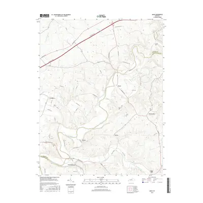
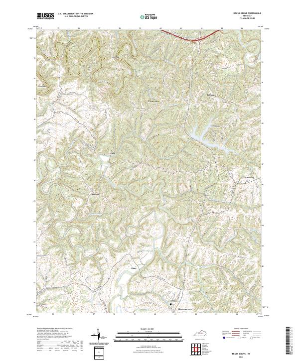
1953 Map of Brush Grove
USGS Topo · Published 1968About this map
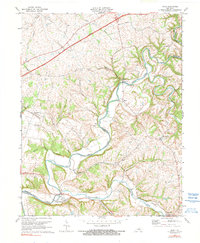
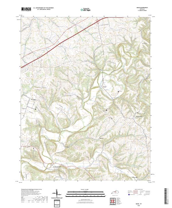
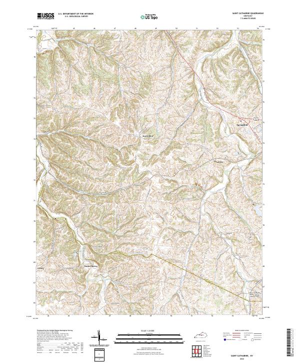
Lincoln Homestead State Park anchors the southern portion of this Washington County landscape, preserving the historical footprint of the Lincoln family’s early Kentucky roots. The terrain is defined by the winding course of the Chaplin River and the Beech Fork, where steep ridges like McCown Ridge and deep hollows dictated the placement of small rural communities. Settlements such as Brush Grove, Hardesty, and Willisburg serve as local hubs connected by narrow ridge-top roads and creek-side paths.
Find a feature on this map
31 named features on this map. Tap any name to fly to it.
Don’t see what you’re looking for? This feature index may not catch every label — zoom into the map to look around manually.
Map Details
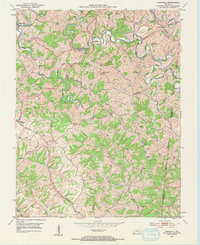
Editions of this 1953 Brush Grove Map
2 editions found

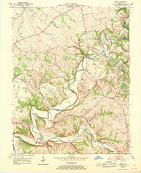
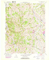
Historical Maps of Willisburg Through Time
26 maps found
1953 Brush Grove
Washington County, KY
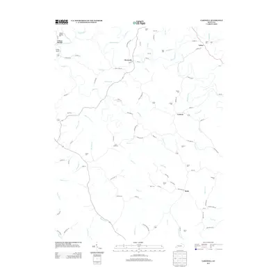
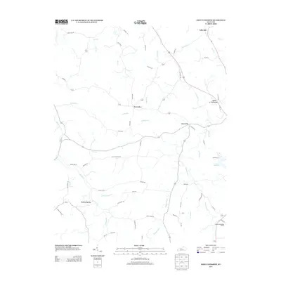
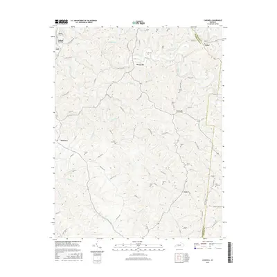
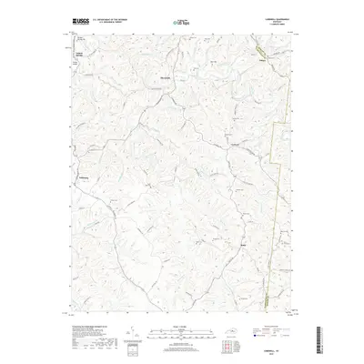
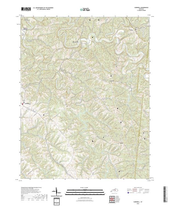
1953 Cardwell
Washington County, KY
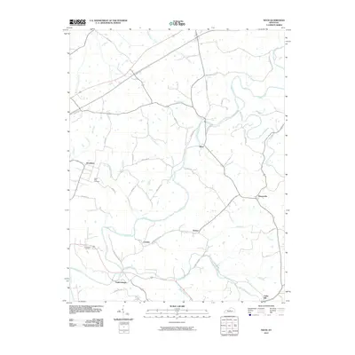
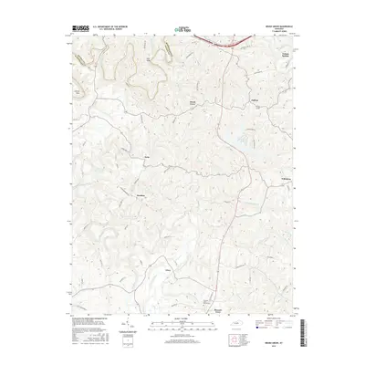
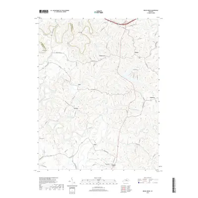
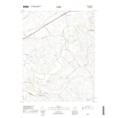
1953 Maud
Washington County, KY
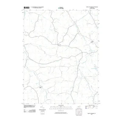
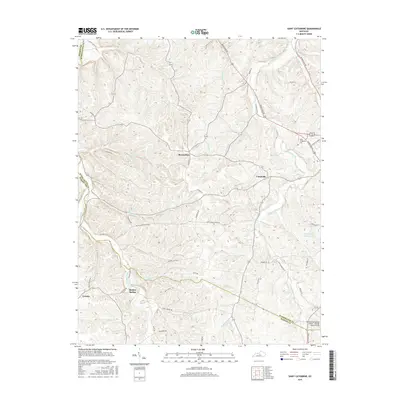
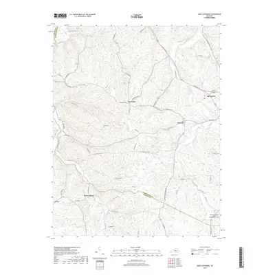
1953 Saint Catharine
Washington County, KY
1972 Brush Grove
Washington County, KY
1972 Maud
Washington County, KY
2010 Brush Grove
Washington County, KY
2010 Cardwell
Washington County, KY
2010 Maud
Washington County, KY
2010 Saint Catharine
Washington County, KY
2013 Brush Grove
Washington County, KY
2013 Cardwell
Washington County, KY
2013 Maud
Washington County, KY
2013 Saint Catharine
Washington County, KY
2016 Brush Grove
Washington County, KY
2016 Cardwell
Washington County, KY
2016 Maud
Washington County, KY
2016 Saint Catharine
Washington County, KY
2019 Brush Grove
Washington County, KY
2019 Cardwell
Washington County, KY
2019 Maud
Washington County, KY
2019 Saint Catharine
Washington County, KY
2022 Brush Grove
Washington County, KY
2022 Cardwell
Washington County, KY
2022 Maud
Washington County, KY
2022 Saint Catharine
Washington County, KY