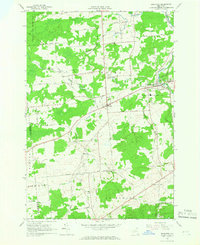
1964 Map of Brushton
USGS Topo · Published 1966About this map
The Moira and Brushton communities anchor this northern New York landscape during the mid-1960s, a period when the regional infrastructure was transitioning from its rail-dependent past. Evidence of the area's industrial evolution is visible in the prominent Old Railroad Grade and the Farrington Old Railroad Grade, which once connected these rural townships to larger markets. The Brushton-Moira Sch serves as a central landmark for these neighboring settlements, while the Little Salmon River and Salmon River weave through the terrain, defining the local drainage patterns near Patterson Road.
Find a feature on this map
50 named features on this map. Tap any name to fly to it.
Don’t see what you’re looking for? This feature index may not catch every label — zoom into the map to look around manually.
Map Details
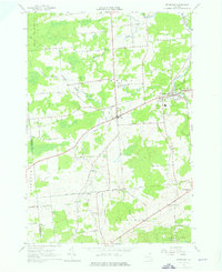
Editions of this 1964 Brushton Map
2 editions found
Other maps of this area

1915 · Malone
USGS Topo · 1:62,500

1915 · Moira
USGS Topo · 1:62,500

1917 · Malone
USGS Topo · 1:62,500

1917 · Moira
USGS Topo · 1:62,500

1919 · Nicholville
USGS Topo · 1:62,500

1921 · Nicholville
USGS Topo · 1:62,500

1921 · Santa Clara
USGS Topo · 1:62,500

1923 · Santa Clara
USGS Topo · 1:62,500

1944 · Moira
USGS Topo · 1:62,500

1948 · Ogdensburg
USGS Topo · 1:250,000