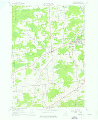
1964 Map of Brushton
USGS Topo · Published 1976About this map
Brushton and Moira serve as the primary hubs in this northern New York landscape during the mid-1960s. The regional economy and infrastructure of the era are defined by the Little Salmon River and an Old Railroad Grade that cuts diagonally through the townships. The settlement pattern follows a network of rural roads like Kelly Road and Russell Road, connecting small communities such as Alburg, Irish Corners, and East Dickinson. Local life is anchored by institutions such as the Brushton-Moira Sch, St Peters Ch, and several burying grounds including Sunnyside Cem. In the southern reaches, the terrain rises toward Brigham Hill and Sand Hill, where the map documents a transition from agricultural clearings to the protected woodlands of Franklin State Forest No 1.
Find a feature on this map
62 named features on this map. Tap any name to fly to it.
Don’t see what you’re looking for? This feature index may not catch every label — zoom into the map to look around manually.
Map Details
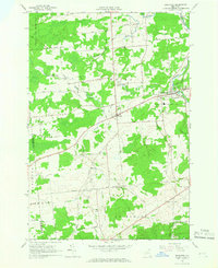
Editions of this 1964 Brushton Map
2 editions found
Other maps of this area

1915 · Malone
USGS Topo · 1:62,500

1915 · Moira
USGS Topo · 1:62,500

1917 · Malone
USGS Topo · 1:62,500

1917 · Moira
USGS Topo · 1:62,500

1919 · Nicholville
USGS Topo · 1:62,500

1921 · Nicholville
USGS Topo · 1:62,500

1921 · Santa Clara
USGS Topo · 1:62,500

1923 · Santa Clara
USGS Topo · 1:62,500

1944 · Moira
USGS Topo · 1:62,500

1948 · Ogdensburg
USGS Topo · 1:250,000