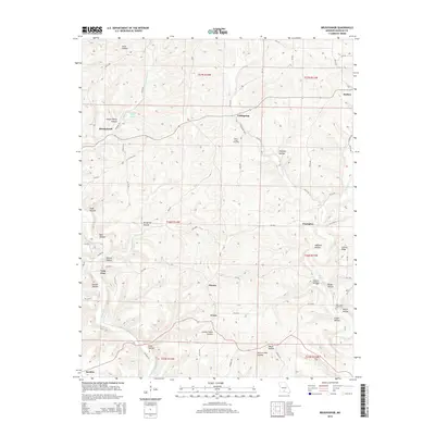
2015 Map of Brushyknob
USGS Topo · Published 2015About this map
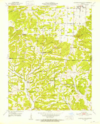
Evans and the surrounding rural landscape of Missouri are defined by a complex network of hollows and ridges that dictated the early settlement patterns of Douglas County. Deeply incised drainages like Wolfpen Hollow, Cotton Patch Hollow, and Bluegrass Hollow give way to prominent elevations such as Coonts Ridge, creating a landscape where small communities like Champion, Coldspring, and Vera Cruz established themselves at strategic intersections or along water sources. The importance of reliable water in this karst topography is evidenced by features like Callaway Riley Spring and Days Springs. Genealogists will find significant local history in the several rural cemeteries, including Clever Creek Cemetery and New Hope Cemetery, which serve as quiet landmarks for these scattered settlements. The winding course of Bryant Creek and its many tributaries, such as Tarbutton Cr and Clever Cr, continue to shape the geography and road networks through this part of the Missouri Ozarks.
Find a feature on this map
79 named features on this map. Tap any name to fly to it.
Don’t see what you’re looking for? This feature index may not catch every label — zoom into the map to look around manually.
Map Details
Editions of this 2015 Brushyknob Map
This is the sole edition of this map. No revisions or reprints were ever made.
Other maps of this area
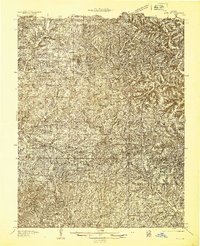
1936 · Ava
USGS Topo · 1:48,000
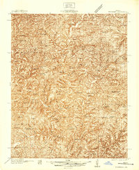
1937 · Buckhart
USGS Topo · 1:48,000
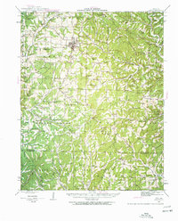
1942 · Ava
USGS Topo · 1:62,500
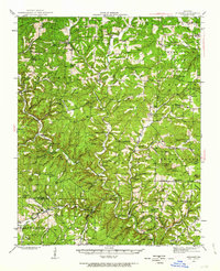
1943 · Buckhart
USGS Topo · 1:62,500
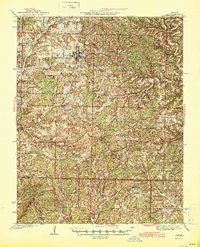
1945 · Ava
USGS Topo · 1:62,500

1945 · Harrison
USGS Topo · 1:250,000
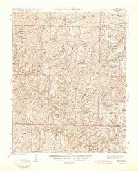
1945 · Buckhart
USGS Topo · 1:62,500

1949 · Harrison
USGS Topo · 1:250,000
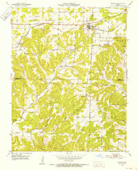
1951 · Norwood
USGS Topo · 1:24,000
1951 · Mountain Grove South
USGS Topo · 1:24,000