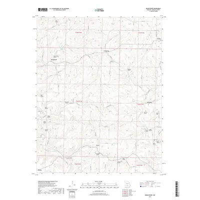
2017 Map of Brushyknob
USGS Topo · Published 2017About this map
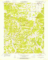
The Ozark plateau landscape around Evans and Coldspring is defined by an intricate network of deep hollows and creek drainage systems in Douglas County. At the center of this rural topography, the high point of Brushyknob overlooks a series of family-named landmarks and historical community centers, including Vera Cruz and Champion. The presence of New Hope Cem and Clever Creek Cem suggests the location of early community roots, while geographic names like McCord Mill Hollow and Gallaher Riley Spring point toward the essential water-dependent industry and settlement patterns of the region. This terrain is carved by the winding course of Bryant Creek and its many tributaries, creating a complex series of ridges such as Coonts Ridge. The area remains sparsely populated, with small settlements like Sweden and Denlow connected by a web of county and state routes that follow the winding natural contours of the land.
Find a feature on this map
83 named features on this map. Tap any name to fly to it.
Don’t see what you’re looking for? This feature index may not catch every label — zoom into the map to look around manually.
Map Details
Editions of this 2017 Brushyknob Map
This is the sole edition of this map. No revisions or reprints were ever made.
Other maps of this area
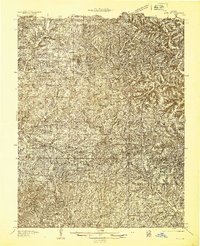
1936 · Ava
USGS Topo · 1:48,000
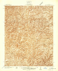
1937 · Buckhart
USGS Topo · 1:48,000
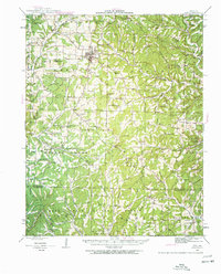
1942 · Ava
USGS Topo · 1:62,500
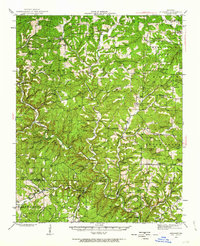
1943 · Buckhart
USGS Topo · 1:62,500
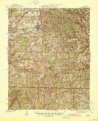
1945 · Ava
USGS Topo · 1:62,500

1945 · Harrison
USGS Topo · 1:250,000
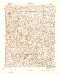
1945 · Buckhart
USGS Topo · 1:62,500

1949 · Harrison
USGS Topo · 1:250,000
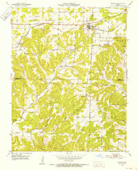
1951 · Norwood
USGS Topo · 1:24,000
1951 · Mountain Grove South
USGS Topo · 1:24,000