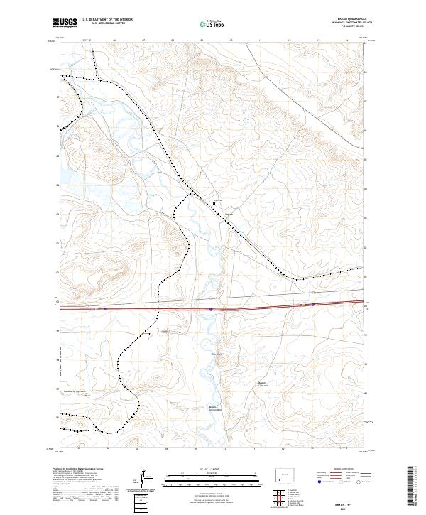
2021 Map of Bryan
USGS Topo · Published 2021About this map
Blacks Fork meanders through this Sweetwater County landscape, defining the topography of the Bryan area. The settlement is positioned along Bryan Rd, with the Bryan Cem nearby serving as a primary point of interest for genealogists tracing local family histories. The terrain is characterized by distinct elevations and drainage patterns, including The Bluffs and Beacon Light Hill, which rise above the surrounding flats. To the south, Meadow Springs Wash cuts through the plains, illustrating the arid hydrology of the region. Transportation and access are marked by several dedicated routes such as Lozier Ranch Rd and Harborlite Entrance Rd, indicating a landscape shaped by ranching interests and industrial access in this part of Wyoming.
Find a feature on this map
15 named features on this map. Tap any name to fly to it.
Don’t see what you’re looking for? This feature index may not catch every label — zoom into the map to look around manually.
Map Details
Editions of this 2021 Bryan Map
This is the sole edition of this map. No revisions or reprints were ever made.
Other maps of this area

1954 · Rock Springs
USGS Topo · 1:250,000

1957 · Mc Kinnon Junction
USGS Topo · 1:62,500

1958 · Rock Springs
USGS Topo · 1:250,000

1961 · Blue Point
USGS Topo · 1:24,000

1961 · Little America
USGS Topo · 1:24,000

1961 · Peru
USGS Topo · 1:24,000

1961 · Austin Ranch
USGS Topo · 1:24,000

1961 · Stevens Flat
USGS Topo · 1:24,000

1961 · Bryan
USGS Topo · 1:24,000

1962 · Rock Springs
USGS Topo · 1:250,000