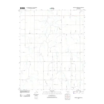
2012 Map of Bryans Corner SW
USGS Topo · Published 2012About this map
Pleasant Ridge Cem sits on a high point in the northern Panhandle, overlooking a landscape defined by seasonal watercourses and a rigid grid of section-line roads. This survey of Texas County reveals a sparse, agricultural environment where the land is partitioned for ranching and farming. The drainage network, including Chiquita Cr, Fulton Cr, Sand Cr, and Red Horse Cr, cuts ephemeral paths across the plains, dictating the placement of rural routes. The map illustrates the 21st-century continuity of this territory's layout, where numbered roads like Mile 59 and Co Hwy-14 provide the primary infrastructure for a region where markers of the past, such as the cemetery, remain as important focal points for local history and genealogy.
Find a feature on this map
47 named features on this map. Tap any name to fly to it.
Don’t see what you’re looking for? This feature index may not catch every label — zoom into the map to look around manually.
Map Details
Editions of this 2012 Bryans Corner SW Map
This is the sole edition of this map. No revisions or reprints were ever made.
Other maps of this area

1954 · Perryton
USGS Topo · 1:250,000

1958 · Perryton
USGS Topo · 1:250,000
1968 · Hardesty SE
USGS Topo · 1:24,000
1968 · Hardesty NE
USGS Topo · 1:24,000
1973 · Horseshoe Hill
USGS Topo · 1:24,000

1973 · Boyd
USGS Topo · 1:24,000
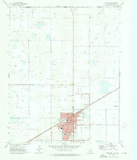
1973 · Perryton
USGS Topo · 1:24,000
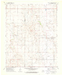
1973 · Bryans Corner SW
USGS Topo · 1:24,000
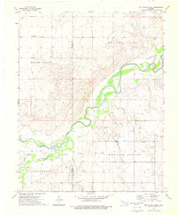
1973 · Red Horse Creek
USGS Topo · 1:24,000
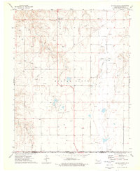
1973 · Bryans Corner
USGS Topo · 1:24,000