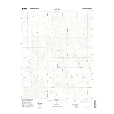
2016 Map of Bryans Corner SW
USGS Topo · Published 2016About this map
The border of Texas and Beaver counties in the Oklahoma panhandle is defined by a north-south section line that cuts through a terrain of dissected plains and dry creek beds. This 2016 survey highlights a sparsely populated landscape dominated by agricultural section lines and intermittent watercourses. Pleasant Ridge Cem stands as a focal point for family researchers, situated near the headwaters of Chiquita Cr. The drainage patterns are clearly delineated, with Sand Cr, Fulton Cr, and Red Horse Cr carving through the plateau. These features represent the typical High Plains topography where small tributaries converge toward the North Canadian River basin to the south. The grid of rural roads, including RD Aa and Mile 60, illustrates the enduring structure of the land survey system in this part of Oklahoma.
Find a feature on this map
52 named features on this map. Tap any name to fly to it.
Don’t see what you’re looking for? This feature index may not catch every label — zoom into the map to look around manually.
Map Details
Editions of this 2016 Bryans Corner SW Map
This is the sole edition of this map. No revisions or reprints were ever made.
Other maps of this area
1954 · Perryton
USGS Topo · 1:250,000
1958 · Perryton
USGS Topo · 1:250,000
1968 · Hardesty SE
USGS Topo · 1:24,000
1968 · Hardesty NE
USGS Topo · 1:24,000
1973 · Horseshoe Hill
USGS Topo · 1:24,000
1973 · Boyd
USGS Topo · 1:24,000
1973 · Perryton
USGS Topo · 1:24,000
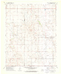
1973 · Bryans Corner SW
USGS Topo · 1:24,000
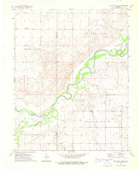
1973 · Red Horse Creek
USGS Topo · 1:24,000
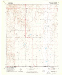
1973 · Bryans Corner
USGS Topo · 1:24,000