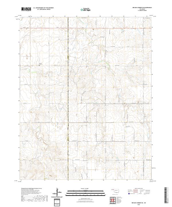
2022 Map of Bryans Corner SW
USGS Topo · Published 2022About this map
Pleasant Ridge Cem stands as a focal point for family history in this corner of the Oklahoma Panhandle, located just west of the line dividing Texas County and Beaver County. The landscape is defined by the drainage patterns of the High Plains, where ephemeral waterways like Fulton Cr, Sand Cr, and Red Horse Cr carve subtle relief into the terrain. The map details a systematic grid of section lines and rural routes, including RD Aa and e0290, which have facilitated ranching and agriculture across this borderland for generations. This 2022 survey provides an exceptionally clear view of the modern land divisions and watershed boundaries that characterize the region's sparse but enduring rural infrastructure.
Find a feature on this map
26 named features on this map. Tap any name to fly to it.
Don’t see what you’re looking for? This feature index may not catch every label — zoom into the map to look around manually.
Map Details
Editions of this 2022 Bryans Corner SW Map
This is the sole edition of this map. No revisions or reprints were ever made.
Other maps of this area

1954 · Perryton
USGS Topo · 1:250,000

1958 · Perryton
USGS Topo · 1:250,000

1968 · Hardesty SE
USGS Topo · 1:24,000

1968 · Hardesty NE
USGS Topo · 1:24,000

1973 · Horseshoe Hill
USGS Topo · 1:24,000

1973 · Boyd
USGS Topo · 1:24,000

1973 · Perryton
USGS Topo · 1:24,000

1973 · Bryans Corner SW
USGS Topo · 1:24,000

1973 · Red Horse Creek
USGS Topo · 1:24,000

1973 · Bryans Corner
USGS Topo · 1:24,000