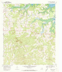
1969 Map of Bryans Mill
USGS Topo · Published 1973About this map
The Cusseta Mountains rise as a prominent topographic anchor in this 1969 survey of Cass County, overlooking a landscape defined by the intersection of rural community life and the growing energy industry. The settlement at Bryans Mill serves as the focal point, situated near the Bryans Mill Gas Plant and numerous Gas Wells that dot the countryside. This era marks a significant point in the region's history, showing the northern edges of Lake Texarkana and areas subject to controlled inundation, illustrating the impact of water management on the local terrain.
Find a feature on this map
33 named features on this map. Tap any name to fly to it.
Don’t see what you’re looking for? This feature index may not catch every label — zoom into the map to look around manually.
Map Details
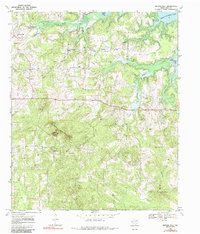
Editions of this 1969 Bryans Mill Map
2 editions found
Other maps of this area

1909 · New Boston
USGS Topo · 1:62,500

1910 · Linden
USGS Topo · 1:62,500

1914 · Daingerfield
USGS Topo · 1:62,500

1930 · Bassett
USGS Topo · 1:62,500

1953 · Texarkana
USGS Topo · 1:250,000

1955 · Corley
USGS Topo · 1:24,000

1955 · Maud
USGS Topo · 1:24,000

1955 · New Boston
USGS Topo · 1:62,500

1956 · Texarkana
USGS Topo · 1:250,000

1965 · Marietta
USGS Topo · 1:24,000