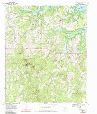
1969 Map of Bryans Mill
USGS Topo · Published 1985About this map
The Cusseta Mountains rise as a prominent topographic feature in this corner of Cass County, overlooking a landscape defined by small rural settlements and a growing petroleum industry. At the northern edge, Wright Patman Lake stretches into the terrain, fed by a network of waterways including Whatley Creek and Black Creek. The small community of Bryans Mill serves as a local hub, featuring the Bryans Mill Gas Plant and several gas wells that signal the area's mid-century economic shift toward resource extraction.
Find a feature on this map
29 named features on this map. Tap any name to fly to it.
Don’t see what you’re looking for? This feature index may not catch every label — zoom into the map to look around manually.
Map Details
Editions of this 1969 Bryans Mill Map
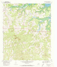
2 editions found
Other maps of this area

1909 · New Boston
USGS Topo · 1:62,500

1910 · Linden
USGS Topo · 1:62,500

1914 · Daingerfield
USGS Topo · 1:62,500

1930 · Bassett
USGS Topo · 1:62,500

1953 · Texarkana
USGS Topo · 1:250,000

1955 · Corley
USGS Topo · 1:24,000

1955 · Maud
USGS Topo · 1:24,000

1955 · New Boston
USGS Topo · 1:62,500

1956 · Texarkana
USGS Topo · 1:250,000

1965 · Marietta
USGS Topo · 1:24,000