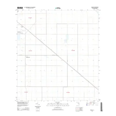
2015 Map of Bryant
USGS Topo · Published 2015About this map
West Palm Beach Canal cuts diagonally across this 2015 landscape, serving as a primary hydrological artery through the agricultural lands of western Palm Beach County. The small community of Bryant sits at the intersection of Mill Rd and the canal, while the settlement of Pelican Lake is situated further south along the western edge of the map. The grid-like structure of the terrain is defined by the Public Land Survey System, with boundaries like t41s r37e and t42s r38e framing a network of rural roads such as Muck City Rd and Hatton Hwy. This survey illustrates the modern drainage and transit systems essential to the Florida Everglades region, where precise water management and road networks support local habitation and industry.
Find a feature on this map
11 named features on this map. Tap any name to fly to it.
Don’t see what you’re looking for? This feature index may not catch every label — zoom into the map to look around manually.
Map Details
Editions of this 2015 Bryant Map
This is the sole edition of this map. No revisions or reprints were ever made.
Other maps of this area

1956 · West Palm Beach
USGS Topo · 1:250,000

1957 · West Palm Beach
USGS Topo · 1:250,000

1958 · West Palm Beach
USGS Topo · 1:250,000
1970 · Belle Glade
USGS Topo · 1:24,000
1970 · West Palm Beach 2 SW
USGS Topo · 1:24,000
1970 · Loxahatchee NW
USGS Topo · 1:24,000
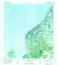
1970 · Pahokee
USGS Topo · 1:24,000
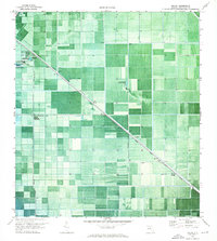
1970 · Bryant
USGS Topo · 1:24,000
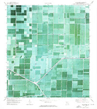
1970 · Sixmile Bend
USGS Topo · 1:24,000
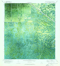
1970 · West Palm Beach 2 NW
USGS Topo · 1:24,000