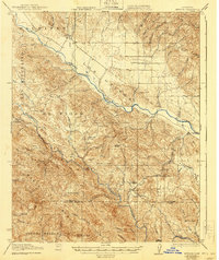
1919 Map of Bryson
USGS Topo · Published 1940About this map
The San Antonio River and Nacimiento River cut through the central California landscape of the Santa Lucia Range in this 1917 survey. The settlement of Jolon serves as a northern waypoint near the ranch lands of Milpitas, while Lockwood and Bryson anchor the lower valley regions. This era of land use is defined by isolated family holdings and small-scale infrastructure, evident in the numerous homesteads like Graves Ranch and Dutton Cabin tucked into the canyons.
Find a feature on this map
56 named features on this map. Tap any name to fly to it.
Don’t see what you’re looking for? This feature index may not catch every label — zoom into the map to look around manually.
Map Details
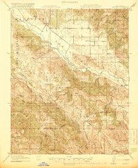
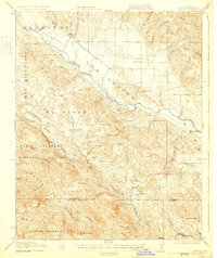
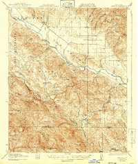
Editions of this 1919 Bryson Map
5 editions found
Other maps of this area

1912 · San Ardo
USGS Topo · 1:31,680

1915 · Priest Valley
USGS Topo · 1:125,000

1919 · King City
USGS Topo · 1:62,500

1919 · Junipero Serra
USGS Topo · 1:62,500

1919 · Bryson
USGS Topo · 1:62,500

1919 · Bradley
USGS Topo · 1:62,500

1919 · Adelaida
USGS Topo · 1:62,500

1919 · Piedras Blancas
USGS Topo · 1:62,500

1919 · San Simeon
USGS Topo · 1:62,500

1921 · Cape San Martin
USGS Topo · 1:62,500