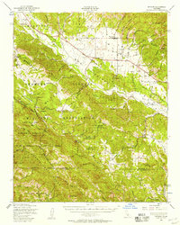
1948 Map of Bryson
USGS Topo · Published 1957About this map
Hunter Liggett Military Reservation dominates this 1940s landscape, illustrating a period of significant military presence in Monterey County following World War II. The terrain transitions from the valley floors near the San Antonio River up into the high ridges of the Santa Lucia Range, where the Los Padres National Forest begins. Local life centers around small hubs like Jolon, Lockwood, and Bryson, connected by a network of unimproved roads and a prominent Telephone Line.
Find a feature on this map
72 named features on this map. Tap any name to fly to it.
Don’t see what you’re looking for? This feature index may not catch every label — zoom into the map to look around manually.
Map Details
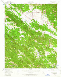
Editions of this 1948 Bryson Map
2 editions found
Other maps of this area

1912 · San Ardo
USGS Topo · 1:31,680

1915 · Priest Valley
USGS Topo · 1:125,000

1919 · King City
USGS Topo · 1:62,500

1919 · Junipero Serra
USGS Topo · 1:62,500

1919 · Bryson
USGS Topo · 1:62,500

1919 · Bradley
USGS Topo · 1:62,500

1919 · Adelaida
USGS Topo · 1:62,500

1919 · Piedras Blancas
USGS Topo · 1:62,500

1919 · San Simeon
USGS Topo · 1:62,500

1921 · Cape San Martin
USGS Topo · 1:62,500