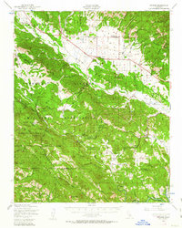
1948 Map of Bryson
USGS Topo · Published 1963About this map
The Hunter Liggett Military Reservation dominates this 1948 landscape, illustrating the mid-century intersection of large-scale defense installations and traditional ranching life in Monterey County. The map captures a moment when rural educational hubs like the San Antonio Union Sch, Pleyto Sch, and Hesperia Sch served scattered communities before the regional shift toward centralized districts. Settled areas like Jolon and Lockwood appear alongside family-named landmarks such as Martinus Corner and the Smith Ranch.
Find a feature on this map
69 named features on this map. Tap any name to fly to it.
Don’t see what you’re looking for? This feature index may not catch every label — zoom into the map to look around manually.
Map Details
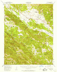
Editions of this 1948 Bryson Map
2 editions found
Other maps of this area

1912 · San Ardo
USGS Topo · 1:31,680

1915 · Priest Valley
USGS Topo · 1:125,000

1919 · King City
USGS Topo · 1:62,500

1919 · Junipero Serra
USGS Topo · 1:62,500

1919 · Bryson
USGS Topo · 1:62,500

1919 · Bradley
USGS Topo · 1:62,500

1919 · Adelaida
USGS Topo · 1:62,500

1919 · Piedras Blancas
USGS Topo · 1:62,500

1919 · San Simeon
USGS Topo · 1:62,500

1921 · Cape San Martin
USGS Topo · 1:62,500