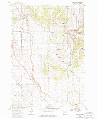
1985 Map of Buck Butte
USGS Topo · Published 1986About this map
Crooked River National Grassland dominates this high-desert landscape in Jefferson County, defined by a network of intermittent drainage and scattered water sources essential for cattle ranching. The map illustrates a land managed for both conservation and utility, where ranching infrastructure like Willow Creek Corral and Boyce Corral sits alongside various livestock watering points such as Canyon Spring and Lower Bennett Spring.
Find a feature on this map
38 named features on this map. Tap any name to fly to it.
Don’t see what you’re looking for? This feature index may not catch every label — zoom into the map to look around manually.
Map Details
Editions of this 1985 Buck Butte Map
2 editions found
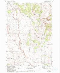
Other maps of this area

1926 · Bend
USGS Topo · 1:125,000

1928 · Madras
USGS Topo · 1:125,000

1929 · Bend
USGS Topo · 1:125,000

1931 · Madras
USGS Topo · 1:125,000

1955 · Bend
USGS Topo · 1:250,000

1957 · Bend
USGS Topo · 1:250,000

1958 · Bend
USGS Topo · 1:250,000

1962 · Opal City
USGS Topo · 1:24,000
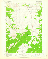
1962 · Gray Butte
USGS Topo · 1:24,000

1962 · Prineville
USGS Topo · 1:62,500