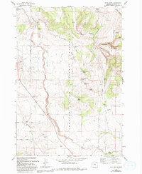
1985 Map of Buck Butte
USGS Topo · Published 1994About this map
Crooked River National Grassland dominates this central Oregon landscape, where the high desert terrain is marked by a network of seasonal drainages and vital water sources. The map details a ranching and grazing infrastructure through named locations like Willow Creek Corral and Boyce Corral, alongside numerous isolated water points such as the Dayton-Grant Well, Devine Well, and the CWA Well. These features point to the historical importance of water management in supporting the agricultural and livestock activities of Jefferson County. Rising above the plateau, Buck Butte and the surrounding Hills overlook canyons like Baldwin Canyon and the path of Wagonblast Creek. The presence of several family-named springs, including McMeen Spring and Larson Spring, provides significant data for those tracing local homesteading and land use history in the mid-1980s.
Find a feature on this map
44 named features on this map. Tap any name to fly to it.
Don’t see what you’re looking for? This feature index may not catch every label — zoom into the map to look around manually.
Map Details
Editions of this 1985 Buck Butte Map
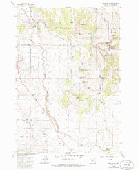
2 editions found
Other maps of this area

1926 · Bend
USGS Topo · 1:125,000

1928 · Madras
USGS Topo · 1:125,000

1929 · Bend
USGS Topo · 1:125,000

1931 · Madras
USGS Topo · 1:125,000

1955 · Bend
USGS Topo · 1:250,000

1957 · Bend
USGS Topo · 1:250,000

1958 · Bend
USGS Topo · 1:250,000

1962 · Opal City
USGS Topo · 1:24,000
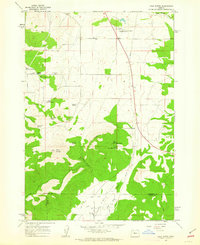
1962 · Gray Butte
USGS Topo · 1:24,000

1962 · Prineville
USGS Topo · 1:62,500