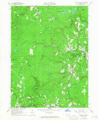
1966 Map of Buck Hill Falls
USGS Topo · Published 1968About this map
Buck Hill Falls and Mountainhome anchor this mid-1960s study of the Pocono plateau, showcasing a landscape defined by resort culture and institutional landmarks. The map captures a transitional era for the region, where the Erie-Lackawanna railroad tracks curve through the southern settlements of Cresco and Mount Pocono while the vast tracts of State Game Lands No 127 and State Game Lands No 221 preserve the highland character to the west. Local social and civic life is marked by the Mountainhome Sch, St Anns Ch, and the well-known Pocono Playhouse. Notable natural features like The Devils Hole and Lake in the Clouds emphasize the area's reputation for outdoor recreation, further evidenced by numerous golf courses and high-elevation landmarks like Mt Wismer.
Find a feature on this map
67 named features on this map. Tap any name to fly to it.
Don’t see what you’re looking for? This feature index may not catch every label — zoom into the map to look around manually.
Map Details
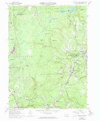
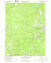
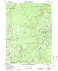
Editions of this 1966 Buck Hill Falls Map
4 editions found
Other maps of this area

1919 · Pocono
USGS Topo · 1:62,500

1921 · Pocono
USGS Topo · 1:62,500

1923 · Pocono
USGS Topo · 1:62,500

1924 · Bushkill
USGS Topo · 1:48,000

1928 · Ariel
USGS Topo · 1:62,500

1932 · Ariel
USGS Topo · 1:62,500

1935 · Hawley
USGS Topo · 1:62,500

1938 · Hawley
USGS Topo · 1:62,500

1943 · Bushkill
USGS Topo · 1:62,500

1943 · Pocono
USGS Topo · 1:62,500
Featured Places
- Greene Township, PA
- Dreher Township, PA
- Paradise Township, PA
- La Anna, Greene Township
- Canadensis, Barrett Township