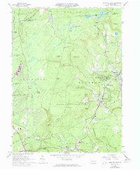
1966 Map of Buck Hill Falls
USGS Topo · Published 1974About this map
The Erie-Lackawanna railroad snakes through the rugged Pocono plateau, connecting a string of resort-era settlements and mountain communities. This mid-1960s study captures a transition period for the region, where older landmarks like the Pocono Playhouse and Mountainhome Sch stood alongside modern infrastructure like the Filtration Plant and numerous golf courses. The map highlights the area's complex topography, from the steep ascent of Seven Pines Mountain to the deep ravine known as The Devils Hole, illustrating the challenges of development in this heavily forested landscape. Institutional history is preserved through labels for the Pocono Mission Sch and the community center at Canadensis, while the presence of State Game Lands No 221 and Tobyhanna State Park underscores the longstanding importance of public land and conservation in Monroe County.
Find a feature on this map
68 named features on this map. Tap any name to fly to it.
Don’t see what you’re looking for? This feature index may not catch every label — zoom into the map to look around manually.
Map Details
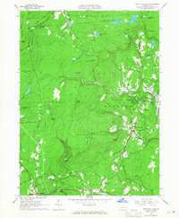
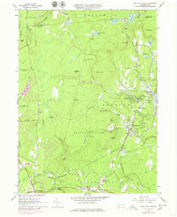
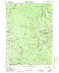
Editions of this 1966 Buck Hill Falls Map
4 editions found
Other maps of this area

1919 · Pocono
USGS Topo · 1:62,500

1921 · Pocono
USGS Topo · 1:62,500

1923 · Pocono
USGS Topo · 1:62,500

1924 · Bushkill
USGS Topo · 1:48,000

1928 · Ariel
USGS Topo · 1:62,500

1932 · Ariel
USGS Topo · 1:62,500

1935 · Hawley
USGS Topo · 1:62,500

1938 · Hawley
USGS Topo · 1:62,500

1943 · Bushkill
USGS Topo · 1:62,500

1943 · Pocono
USGS Topo · 1:62,500
Featured Places
- Greene Township, PA
- Dreher Township, PA
- Paradise Township, PA
- La Anna, Greene Township
- Canadensis, Barrett Township