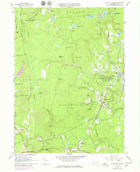
1966 Map of Buck Hill Falls
USGS Topo · Published 1979About this map
The recreational and village character of the Pocono Mountains is well-defined here, where the Erie-Lackawanna railroad winds through a landscape of narrow valleys and high ridges. The eastern portion of the map centers on the established resort community of Buck Hill Falls, complete with its Reservoir, multiple golf courses, and the nearby Pocono Playhouse. To the south, the village of Cresco and the rising development around Mount Pocono contrast with the large, undeveloped tracts of State Game Lands No 127 and State Game Lands No 221. These state-managed lands protect the headwaters of numerous streams, including the deeply cut gorge of Devils Hole Creek near The Devils Hole. Local landmarks like St Anns Ch and the Mountainhome Sch serve the clusters of settlements at Canadensis and Mountainhome, which flourished as regional centers for tourism and seasonal residence.
Find a feature on this map
69 named features on this map. Tap any name to fly to it.
Don’t see what you’re looking for? This feature index may not catch every label — zoom into the map to look around manually.
Map Details
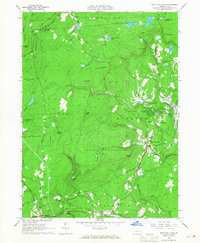
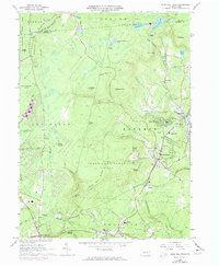
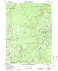
Editions of this 1966 Buck Hill Falls Map
4 editions found
Other maps of this area

1919 · Pocono
USGS Topo · 1:62,500

1921 · Pocono
USGS Topo · 1:62,500

1923 · Pocono
USGS Topo · 1:62,500

1924 · Bushkill
USGS Topo · 1:48,000

1928 · Ariel
USGS Topo · 1:62,500

1932 · Ariel
USGS Topo · 1:62,500

1935 · Hawley
USGS Topo · 1:62,500

1938 · Hawley
USGS Topo · 1:62,500

1943 · Bushkill
USGS Topo · 1:62,500

1943 · Pocono
USGS Topo · 1:62,500
Featured Places
- Greene Township, PA
- Dreher Township, PA
- Paradise Township, PA
- La Anna, Greene Township
- Canadensis, Barrett Township