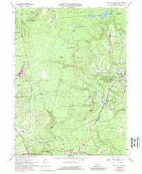
1966 Map of Buck Hill Falls
USGS Topo · Published 1988About this map
The Erie-Lackawanna railroad tracks wind through the heart of the Pocono Mountains in this mid-1960s study, connecting resort communities and mountain settlements. The map highlights the developed character of Buck Hill Falls and Mountainhome, where the presence of a Golf Course and the Pocono Playhouse signals the area's long-standing status as a seasonal retreat. Beyond the manicured fairways, the terrain is dominated by steep ridges like Seven Pines Mountain and deep incisions such as The Devils Hole. Local education and faith are represented by the Mountainhome Sch and St Anna Ch, while the landscape is dotted with recreation spots like Lake in the Clouds. The transition from the more settled southern corridor near Cresco to the sprawling State Game Lands No 127 illustrates the balance between tourism development and preserved forest land in Monroe County.
Find a feature on this map
70 named features on this map. Tap any name to fly to it.
Don’t see what you’re looking for? This feature index may not catch every label — zoom into the map to look around manually.
Map Details
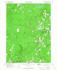
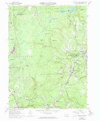
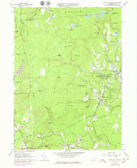
Editions of this 1966 Buck Hill Falls Map
4 editions found
Other maps of this area

1919 · Pocono
USGS Topo · 1:62,500

1921 · Pocono
USGS Topo · 1:62,500

1923 · Pocono
USGS Topo · 1:62,500

1924 · Bushkill
USGS Topo · 1:48,000

1928 · Ariel
USGS Topo · 1:62,500

1932 · Ariel
USGS Topo · 1:62,500

1935 · Hawley
USGS Topo · 1:62,500

1938 · Hawley
USGS Topo · 1:62,500

1943 · Bushkill
USGS Topo · 1:62,500

1943 · Pocono
USGS Topo · 1:62,500
Featured Places
- Greene Township, PA
- Dreher Township, PA
- Paradise Township, PA
- La Anna, Greene Township
- Canadensis, Barrett Township