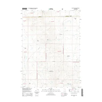
2014 Map of Buck Hollow
USGS Topo · Published 2014About this map
Sawtooth National Forest dominates this landscape along the state line where the Albion Mountains descend into the Upper Raft River Valley. This 2014 survey documents a rugged transition zone defined by numerous isolated water sources such as Sparks Spring, Boundary Spring, and Bronson Spring, which historically supported livestock and early mountain passage. The geographic complexity is highlighted by the Upper Narrows of the Raft River and the high peaks of the Raft River Mountains to the south. Local transit is centered on the intersection of Lynn-Almo Rd and Yost Flats Rd, connecting the scattered drainage basins of Lynn Cr and Junction Cr. The map captures the remote character of the Buck Hollow region, where topographic features like Little Basin and Rocky Canyon shaped the early ranching and grazing patterns of this Idaho-Utah borderland.
Find a feature on this map
42 named features on this map. Tap any name to fly to it.
Don’t see what you’re looking for? This feature index may not catch every label — zoom into the map to look around manually.
Map Details
Editions of this 2014 Buck Hollow Map
This is the sole edition of this map. No revisions or reprints were ever made.
Other maps of this area

1954 · Pocatello
USGS Topo · 1:250,000

1954 · Brigham City
USGS Topo · 1:250,000

1958 · Pocatello
USGS Topo · 1:250,000

1958 · Brigham City
USGS Topo · 1:250,000
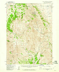
1959 · Cotton Thomas Basin
USGS Topo · 1:62,500
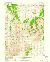
1959 · Yost
USGS Topo · 1:62,500

1962 · Brigham City
USGS Topo · 1:250,000
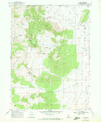
1968 · Almo
USGS Topo · 1:24,000
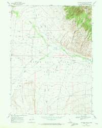
1968 · Jim Sage Canyon
USGS Topo · 1:24,000
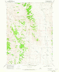
1968 · Lyman Pass
USGS Topo · 1:24,000