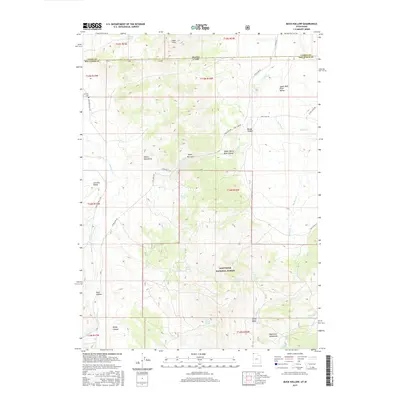
2017 Map of Buck Hollow
USGS Topo · Published 2017About this map
Junction Valley sits at the northern edge of the Raft River Mountains, where the border between Box Elder County, Utah, and Cassia County, Idaho, cuts through high-elevation terrain. This 2017 survey details a landscape defined by seasonal drainages and mountain springs, including Boundary Spring and Sparks Spring. The rugged topography is punctuated by the Albion Mountains and the Upper Narrows, which channel the flow of the Raft River as it moves through the Upper Raft River Valley.
Find a feature on this map
45 named features on this map. Tap any name to fly to it.
Don’t see what you’re looking for? This feature index may not catch every label — zoom into the map to look around manually.
Map Details
Editions of this 2017 Buck Hollow Map
This is the sole edition of this map. No revisions or reprints were ever made.
Other maps of this area

1954 · Pocatello
USGS Topo · 1:250,000

1954 · Brigham City
USGS Topo · 1:250,000

1958 · Pocatello
USGS Topo · 1:250,000

1958 · Brigham City
USGS Topo · 1:250,000
1959 · Cotton Thomas Basin
USGS Topo · 1:62,500
1959 · Yost
USGS Topo · 1:62,500

1962 · Brigham City
USGS Topo · 1:250,000
1968 · Almo
USGS Topo · 1:24,000
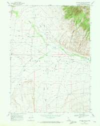
1968 · Jim Sage Canyon
USGS Topo · 1:24,000
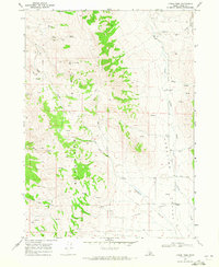
1968 · Lyman Pass
USGS Topo · 1:24,000