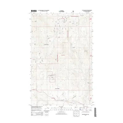
2014 Map of Buck Mountain
USGS Topo · Published 2014About this map
Mowich Illahee sits within the high-elevation landscape of the Okanogan National Forest, where the terrain is defined by prominent peaks like Buck Mtn, McDaniel Mtn, and Beaver Mtn. This 2014 survey documents a network of forest roads and watercourses that supported recreation and resource management in the early 21st century. High-country sites such as the State Road Cabin Camp and campgrounds at Rock Lakes Campground and Rock Creek Campground serve as localized hubs for backcountry access.
Find a feature on this map
38 named features on this map. Tap any name to fly to it.
Don’t see what you’re looking for? This feature index may not catch every label — zoom into the map to look around manually.
Map Details
Editions of this 2014 Buck Mountain Map
This is the sole edition of this map. No revisions or reprints were ever made.
Other maps of this area

1905 · Okanogan
USGS Topo · 1:125,000

1906 · Chopaka
USGS Topo · 1:125,000

1954 · Okanogan
USGS Topo · 1:250,000

1956 · Loup Loup
USGS Topo · 1:62,500

1956 · Tiffany Mountain
USGS Topo · 1:62,500

1957 · Okanogan
USGS Topo · 1:62,500

1957 · Conconully
USGS Topo · 1:62,500

1958 · Okanogan
USGS Topo · 1:250,000
1980 · Ruby Hill
USGS Topo · 1:24,000
1981 · Conconully East
USGS Topo · 1:24,000