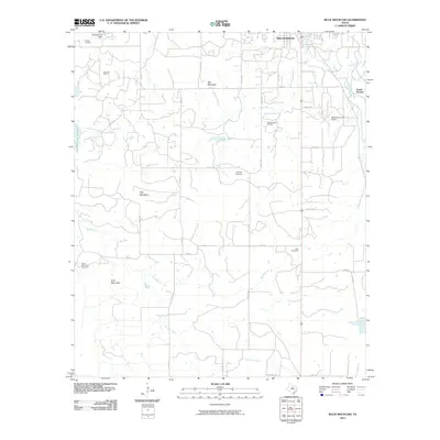
2010 Map of Buck Mountain
USGS Topo · Published 2010About this map
Breckenridge serves as the focal point of this northern Stephens County landscape, situated near the headwaters of Gunsolus Creek. The region is defined by a series of prominent elevations, including Spy Mountain, Hog Mountain, and the namesake Buck Mountain, which rise above the surrounding plains. The local economy and history are deeply tied to the energy sector, as evidenced by the widespread Curry Oil Field, O'Neal Oil Field, and the Breckenridge Oil Field that dot the terrain between the ridges.
Find a feature on this map
43 named features on this map. Tap any name to fly to it.
Don’t see what you’re looking for? This feature index may not catch every label — zoom into the map to look around manually.
Map Details
Editions of this 2010 Buck Mountain Map
This is the sole edition of this map. No revisions or reprints were ever made.
Other maps of this area

1890 · Breckenridge
USGS Topo · 1:125,000

1892 · Albany
USGS Topo · 1:125,000

1893 · Albany
USGS Topo · 1:125,000

1954 · Abilene
USGS Topo · 1:250,000

1958 · Abilene
USGS Topo · 1:250,000

1958 · Breckenridge
USGS Topo · 1:24,000

1958 · Edwards Branch
USGS Topo · 1:24,000

1961 · Buck Mountain
USGS Topo · 1:24,000

1961 · Eolian
USGS Topo · 1:24,000

1965 · Indian Knoll
USGS Topo · 1:24,000