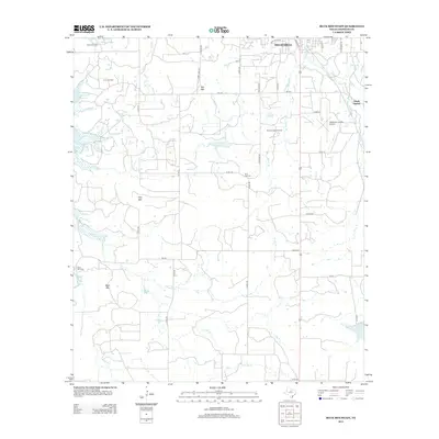
2012 Map of Buck Mountain
USGS Topo · Published 2012About this map
Breckenridge serves as the focal point for this section of Stephens County, where the industrial legacy of the region is written into the land. The map documents multiple extensive drilling operations, including the O'Neal Oil Field, Curry Oil Field, and the Breckenridge Oil Field, illustrating the sustained importance of petroleum extraction to the local economy. This industrial presence is contrasted by significant water resources, notably the expansive Hubbard Cr Reservoir on the western edge and Lake Daniel to the southeast, which define the hydrological landscape alongside numerous seasonal branches like Hog Br and Iron Ore Cr.
Find a feature on this map
46 named features on this map. Tap any name to fly to it.
Don’t see what you’re looking for? This feature index may not catch every label — zoom into the map to look around manually.
Map Details
Editions of this 2012 Buck Mountain Map
This is the sole edition of this map. No revisions or reprints were ever made.
Other maps of this area

1890 · Breckenridge
USGS Topo · 1:125,000

1892 · Albany
USGS Topo · 1:125,000

1893 · Albany
USGS Topo · 1:125,000

1954 · Abilene
USGS Topo · 1:250,000

1958 · Abilene
USGS Topo · 1:250,000

1958 · Breckenridge
USGS Topo · 1:24,000

1958 · Edwards Branch
USGS Topo · 1:24,000

1961 · Buck Mountain
USGS Topo · 1:24,000

1961 · Eolian
USGS Topo · 1:24,000

1965 · Indian Knoll
USGS Topo · 1:24,000