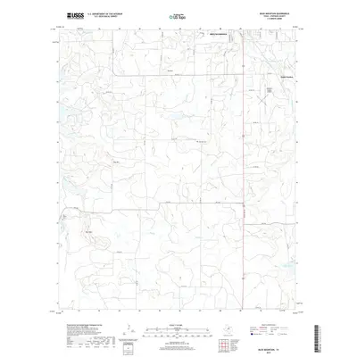
2019 Map of Buck Mountain
USGS Topo · Published 2019About this map
Breckenridge defines the northern edge of this Stephens County landscape, where the residential grid gives way to the drainage networks of the Texas Rolling Plains. The area is marked by a series of distinct elevations, including Buck Mtn, Spy Mtn, and Hog Mtn, which overlook a complex system of seasonal creeks and branches. Water management is a central theme of the topography, evidenced by Lake Daniel in the southeast and smaller impoundments like Conner Lake and Robbins Lake.
Find a feature on this map
46 named features on this map. Tap any name to fly to it.
Don’t see what you’re looking for? This feature index may not catch every label — zoom into the map to look around manually.
Map Details
Editions of this 2019 Buck Mountain Map
This is the sole edition of this map. No revisions or reprints were ever made.
Other maps of this area

1890 · Breckenridge
USGS Topo · 1:125,000

1892 · Albany
USGS Topo · 1:125,000

1893 · Albany
USGS Topo · 1:125,000

1954 · Abilene
USGS Topo · 1:250,000

1958 · Abilene
USGS Topo · 1:250,000

1958 · Breckenridge
USGS Topo · 1:24,000

1958 · Edwards Branch
USGS Topo · 1:24,000

1961 · Buck Mountain
USGS Topo · 1:24,000

1961 · Eolian
USGS Topo · 1:24,000

1965 · Indian Knoll
USGS Topo · 1:24,000