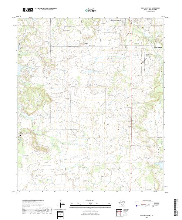
2022 Map of Buck Mountain
USGS Topo · Published 2022About this map
Buck Mtn, Spy Mtn, and Hog Mtn rise above the drainage basins of the Brazos River watershed, defining the landscape south of the city of Breckenridge. This 2022 survey captures the rural infrastructure of Stephens County, where a network of county roads and farm-to-market routes connects isolated ranch lands and community landmarks. Genealogists and local historians can locate several family and community burial grounds, including the Buck Mountain Cem, Post Oak Cem, and Hart Cem, which are tucked away near watercourses like Hog Br and Iron Ore Cr. The eastern edge of the quadrangle is dominated by the Stephens County Airport and the outskirts of the South Hanlon area, while the southern reach includes a portion of Lake Daniel.
Find a feature on this map
46 named features on this map. Tap any name to fly to it.
Don’t see what you’re looking for? This feature index may not catch every label — zoom into the map to look around manually.
Map Details
Editions of this 2022 Buck Mountain Map
This is the sole edition of this map. No revisions or reprints were ever made.
Other maps of this area

1890 · Breckenridge
USGS Topo · 1:125,000

1892 · Albany
USGS Topo · 1:125,000

1893 · Albany
USGS Topo · 1:125,000

1954 · Abilene
USGS Topo · 1:250,000

1958 · Abilene
USGS Topo · 1:250,000

1958 · Breckenridge
USGS Topo · 1:24,000

1958 · Edwards Branch
USGS Topo · 1:24,000

1961 · Buck Mountain
USGS Topo · 1:24,000

1961 · Eolian
USGS Topo · 1:24,000

1965 · Indian Knoll
USGS Topo · 1:24,000