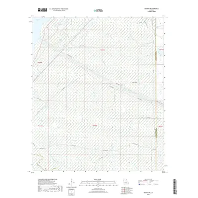
2018 Map of Buckeye NE
USGS Topo · Published 2018About this map
Catahoula Lake and its intricate drainage network dominate this landscape on the boundary of LaSalle and Catahoula Parishes. The region is defined by a dense web of waterways, including Mound Bayou, Bull Bayou, and French Fork, which move through the low-lying wetlands. Modern water management is visible through the Catahoula Lake Diversion Canal and its associated Diversion Canal Levee Rd, cutting a straight path across the natural meandering of the bayous. To the south, Duck Slough and Taylor Bayou feed into the larger Saline Bayou system. The map documents a landscape primarily accessible via specialized routes like F Lease Rd and Nolan Bayou Rd, reflecting the area's use for wildlife management and resource extraction rather than dense residential settlement.
Find a feature on this map
36 named features on this map. Tap any name to fly to it.
Don’t see what you’re looking for? This feature index may not catch every label — zoom into the map to look around manually.
Map Details
Editions of this 2018 Buckeye NE Map
This is the sole edition of this map. No revisions or reprints were ever made.
Other maps of this area
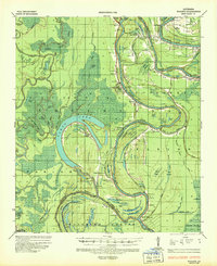
1935 · Tooleys
USGS Topo · 1:62,500
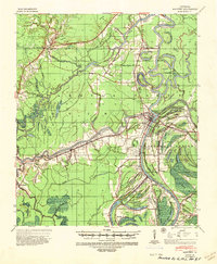
1941 · Manifest
USGS Topo · 1:62,500
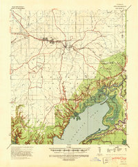
1941 · Jena
USGS Topo · 1:62,500
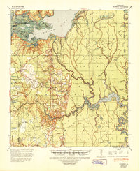
1941 · Buckeye
USGS Topo · 1:62,500
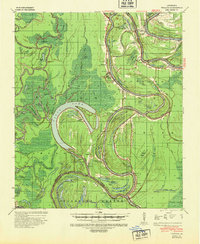
1941 · Tooleys
USGS Topo · 1:62,500
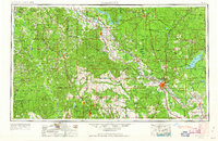
1953 · Alexandria
USGS Topo · 1:250,000
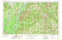
1953 · Natchez
USGS Topo · 1:250,000
1955 · Alexandria
USGS Topo · 1:250,000
1956 · Natchez
USGS Topo · 1:250,000
1958 · Jena
USGS Topo · 1:62,500