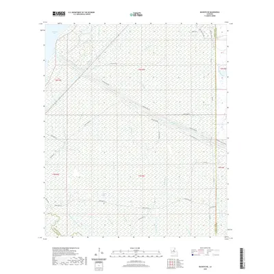
2020 Map of Buckeye NE
USGS Topo · Published 2020About this map
Catahoula Lake dominates the northwest corner of this landscape at the intersection of LaSalle and Rapides Parishes. This area is defined by an intricate network of wetlands and water management infrastructure, most notably the Catahoula Lake Diversion Canal which cuts diagonally across the center of the sheet. The terrain is characterized by numerous bayous and sloughs, including Mound Bayou, Duck Slough, and the winding French Fork.
Find a feature on this map
39 named features on this map. Tap any name to fly to it.
Don’t see what you’re looking for? This feature index may not catch every label — zoom into the map to look around manually.
Map Details
Editions of this 2020 Buckeye NE Map
This is the sole edition of this map. No revisions or reprints were ever made.
Other maps of this area

1935 · Tooleys
USGS Topo · 1:62,500

1941 · Manifest
USGS Topo · 1:62,500

1941 · Jena
USGS Topo · 1:62,500

1941 · Buckeye
USGS Topo · 1:62,500

1941 · Tooleys
USGS Topo · 1:62,500

1953 · Alexandria
USGS Topo · 1:250,000

1953 · Natchez
USGS Topo · 1:250,000

1955 · Alexandria
USGS Topo · 1:250,000

1956 · Natchez
USGS Topo · 1:250,000

1958 · Jena
USGS Topo · 1:62,500