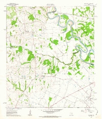
1962 Map of Buckhorn
USGS Topo · Published 1963About this map
The Brazos River creates a meandering border between Washington, Waller, and Austin Counties in this early 1960s study of rural southeast Texas. The landscape is defined by the heavy industrial footprint of the Raccoon Bend Oil Field in the southeast, where a dense network of oil wells and pipelines contrasts with the scattered agricultural settlements to the north. These small communities, including Sauney Stand, Buckhorn, and Cochran, are characterized by their local institutions, such as Sauney Chapel, Union Center Sch, and Cochran Sch.
Find a feature on this map
34 named features on this map. Tap any name to fly to it.
Don’t see what you’re looking for? This feature index may not catch every label — zoom into the map to look around manually.
Map Details
Editions of this 1962 Buckhorn Map
2 editions found
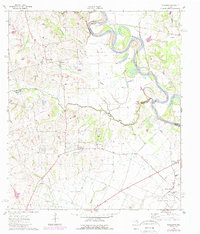
Other maps of this area

1930 · Brenham
USGS Topo · 1:62,500

1953 · Seguin
USGS Topo · 1:250,000

1954 · Austin
USGS Topo · 1:250,000

1956 · Bellville
USGS Topo · 1:62,500

1956 · Sealy
USGS Topo · 1:62,500

1956 · Hempstead
USGS Topo · 1:62,500

1956 · Brenham
USGS Topo · 1:62,500

1958 · Seguin
USGS Topo · 1:250,000
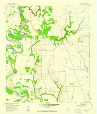
1960 · Sunny Side
USGS Topo · 1:24,000
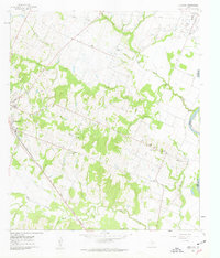
1961 · Burleigh
USGS Topo · 1:24,000