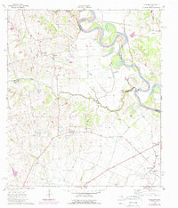
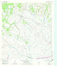
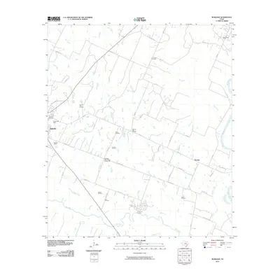
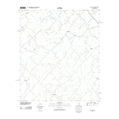
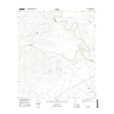
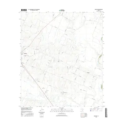
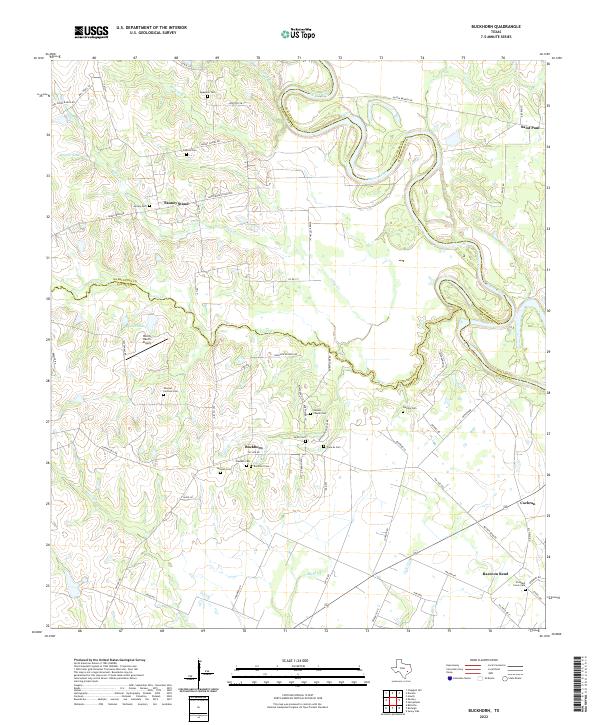
1962 Map of Buckhorn
USGS Topo · Published 1989About this map
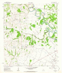
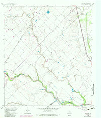
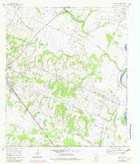
The Brazos River meanders along the eastern edge of this landscape, defining the borders between Washington, Austin, and Waller Counties. This 1962 survey illustrates a predominantly rural Texas interior during a period of steady industrial integration, most notably seen in the expansive Raccoon Bend Oil Field to the southeast. The interior is dotted with small agricultural settlements like Buckhorn and Sauney Stand, which are anchored by community hubs such as Sauney Chapel and the Samuel Chapel.
Find a feature on this map
37 named features on this map. Tap any name to fly to it.
Don’t see what you’re looking for? This feature index may not catch every label — zoom into the map to look around manually.
Map Details
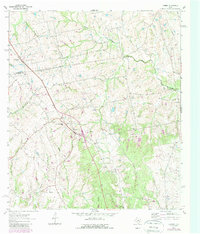
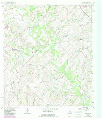
Editions of this 1962 Buckhorn Map
2 editions found
Historical Maps of Buckhorn Through Time
36 maps found
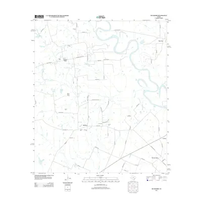
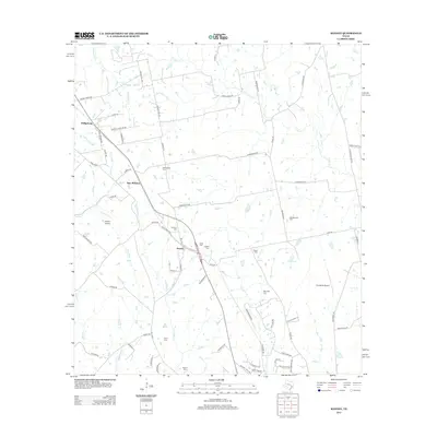
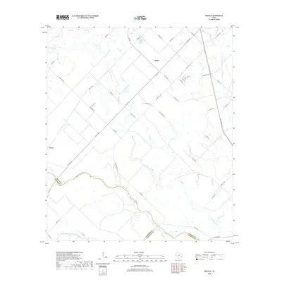
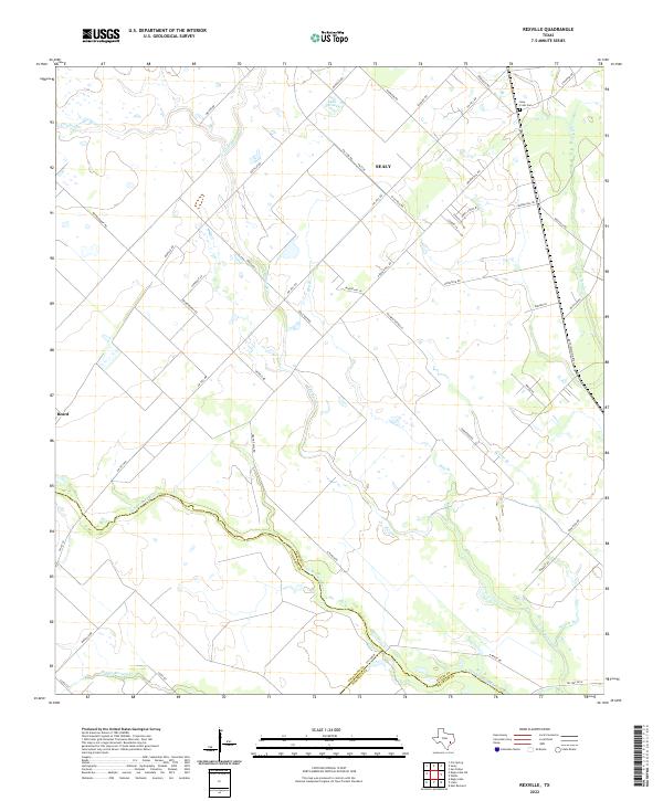
1960 Rexville
Austin County, TX
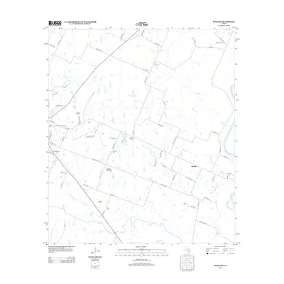
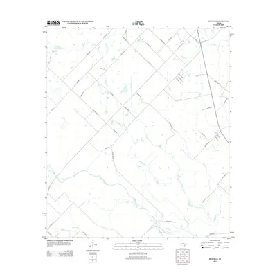
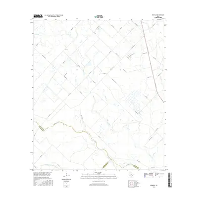
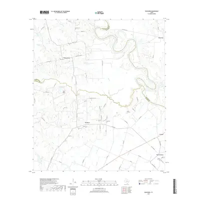
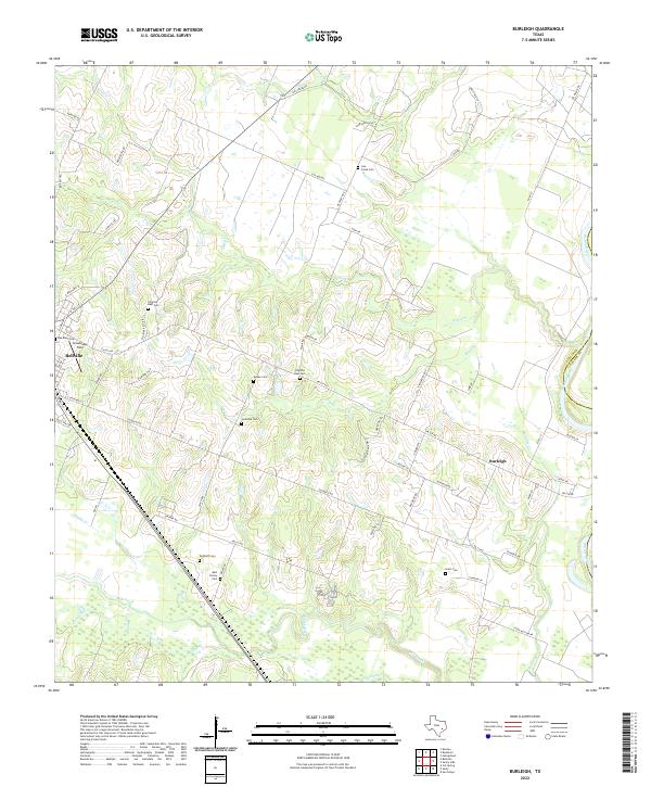
1961 Burleigh
Austin County, TX
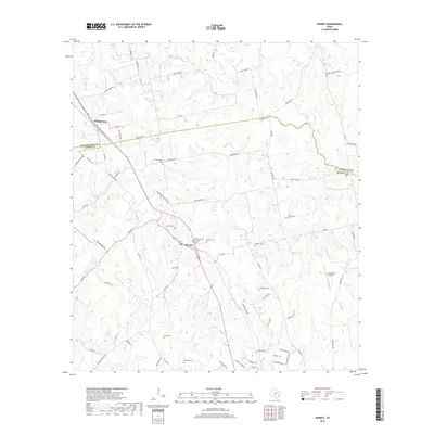
1962 Buckhorn
Austin County, TX
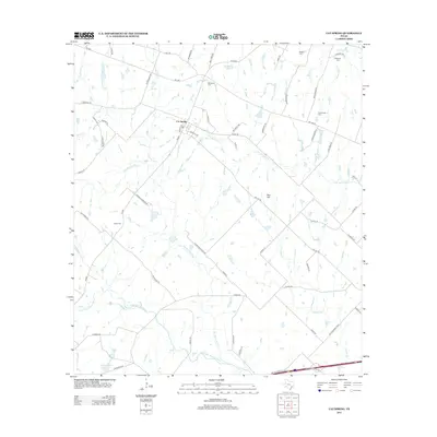
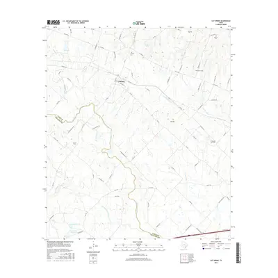
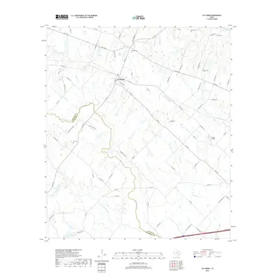
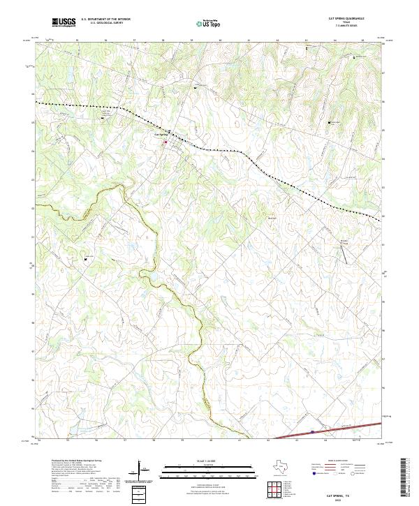
1963 Cat Spring
Austin County, TX
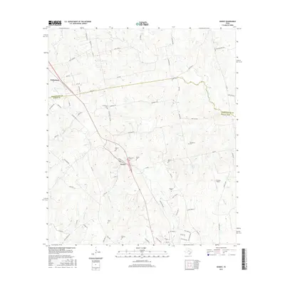
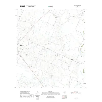
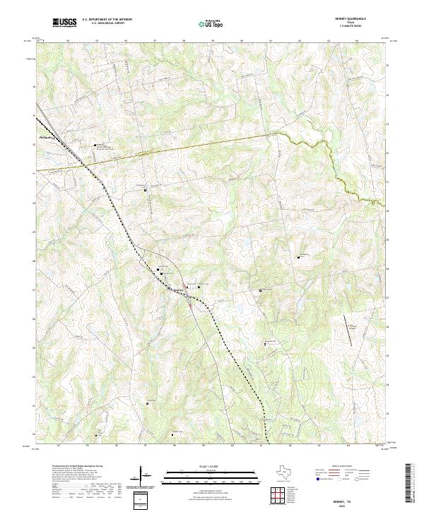
1963 Kenney
Austin County, TX
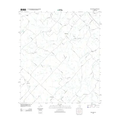
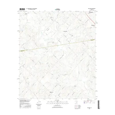
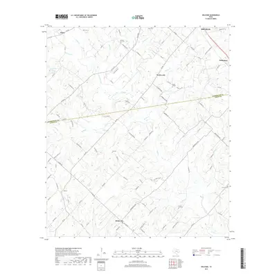
1963 Welcome
Austin County, TX
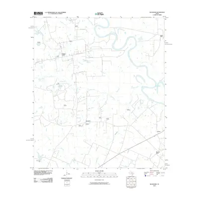
2010 Buckhorn
Austin County, TX
2010 Burleigh
Austin County, TX
2010 Cat Spring
Austin County, TX
2010 Kenney
Austin County, TX
2010 Rexville
Austin County, TX
2010 Welcome
Austin County, TX
2013 Buckhorn
Austin County, TX
2013 Burleigh
Austin County, TX
2013 Cat Spring
Austin County, TX
2013 Kenney
Austin County, TX
2013 Rexville
Austin County, TX
2013 Welcome
Austin County, TX
2016 Buckhorn
Austin County, TX
2016 Burleigh
Austin County, TX
2016 Cat Spring
Austin County, TX
2016 Kenney
Austin County, TX
2016 Rexville
Austin County, TX
2016 Welcome
Austin County, TX
2019 Buckhorn
Austin County, TX
2019 Burleigh
Austin County, TX
2019 Cat Spring
Austin County, TX
2019 Kenney
Austin County, TX
2019 Rexville
Austin County, TX
2019 Welcome
Austin County, TX
2022 Buckhorn
Austin County, TX
2022 Burleigh
Austin County, TX
2022 Cat Spring
Austin County, TX
2022 Kenney
Austin County, TX
2022 Rexville
Austin County, TX
2022 Welcome
Austin County, TX