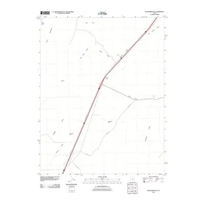
2010 Map of Buckhorn Flat
USGS Topo · Published 2010About this map
Buckhorn Flat and the surrounding desert basin are defined by a network of seasonal drainages and vital water points in the high desert of Iron County. The landscape is bordered by the dramatic rise of the Black Mountains to the west and the Hurricane Cliffs to the east, creating a corridor where the modern Interstate 15 follows older transit patterns. Traditional ranching and land management footprints are evident at CCC Pond and Buckhorn Spring, illustrating the importance of water infrastructure in the Parowan Valley area. Numerous named washes and hollows, such as Bone Hollow and Dennis Hollow, carve through the terrain, leading toward prominent landmarks like Muley Point and Swayback Knoll. This 2010 survey highlights the intersection of modern transportation routes, including Frontage Rd and Buckskin Rd, with the enduring geographical features of the Utah landscape.
Find a feature on this map
20 named features on this map. Tap any name to fly to it.
Don’t see what you’re looking for? This feature index may not catch every label — zoom into the map to look around manually.
Map Details
Editions of this 2010 Buckhorn Flat Map
This is the sole edition of this map. No revisions or reprints were ever made.
Other maps of this area

1885 · Beaver
USGS Topo · 1:250,000

1886 · Kanab
USGS Topo · 1:250,000

1953 · Richfield
USGS Topo · 1:250,000

1953 · Cedar City
USGS Topo · 1:250,000

1958 · Richfield
USGS Topo · 1:250,000

1958 · Cedar City
USGS Topo · 1:250,000

1958 · Minersville
USGS Topo · 1:62,500

1962 · Cedar City
USGS Topo · 1:250,000

1971 · Buckhorn Flat
USGS Topo · 1:24,000

1971 · Paragonah
USGS Topo · 1:24,000