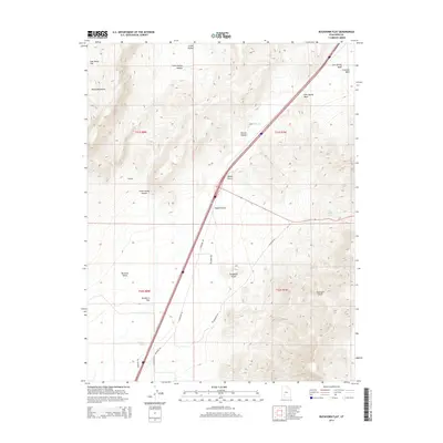
2014 Map of Buckhorn Flat
USGS Topo · Published 2014About this map
The Hurricane Cliffs rise sharply in the southeast, defining a stark elevation change that overlooks the basin of Parowan Valley. This 2014 survey documents the rugged intersection of the Black Mountains and the arid lowlands of Buckhorn Flat. Water sources, while sparse, are clearly indicated by features such as Buckhorn Spring, Bone Hollow Spring, and the man-made CCC Pond, reflecting the historical importance of localized water management in this high-desert environment.
Find a feature on this map
25 named features on this map. Tap any name to fly to it.
Don’t see what you’re looking for? This feature index may not catch every label — zoom into the map to look around manually.
Map Details
Editions of this 2014 Buckhorn Flat Map
This is the sole edition of this map. No revisions or reprints were ever made.
Other maps of this area

1885 · Beaver
USGS Topo · 1:250,000

1886 · Kanab
USGS Topo · 1:250,000

1953 · Richfield
USGS Topo · 1:250,000

1953 · Cedar City
USGS Topo · 1:250,000

1958 · Richfield
USGS Topo · 1:250,000

1958 · Cedar City
USGS Topo · 1:250,000

1958 · Minersville
USGS Topo · 1:62,500

1962 · Cedar City
USGS Topo · 1:250,000

1971 · Buckhorn Flat
USGS Topo · 1:24,000

1971 · Paragonah
USGS Topo · 1:24,000