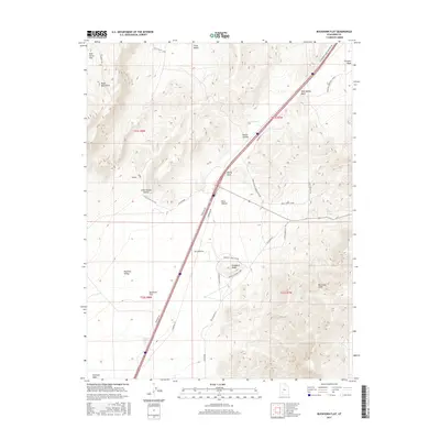
2017 Map of Buckhorn Flat
USGS Topo · Published 2017About this map
Buckhorn Flat and the eastern margins of Parowan Valley define this landscape on the doorstep of the High Plateaus. The terrain is characterized by the dramatic rise of the Hurricane Cliffs and the volcanic profiles of the Black Mountains, where features like Swayback Knoll and Muley Point overlook a network of seasonal drainages and springs. Water sources were critical for ranching and travel in this arid portion of Iron County, evidenced by Buckhorn Spring, Bone Hollow Spring, and the man-made CCC Pond.
Find a feature on this map
37 named features on this map. Tap any name to fly to it.
Don’t see what you’re looking for? This feature index may not catch every label — zoom into the map to look around manually.
Map Details
Editions of this 2017 Buckhorn Flat Map
This is the sole edition of this map. No revisions or reprints were ever made.
Other maps of this area

1885 · Beaver
USGS Topo · 1:250,000

1886 · Kanab
USGS Topo · 1:250,000

1953 · Richfield
USGS Topo · 1:250,000

1953 · Cedar City
USGS Topo · 1:250,000

1958 · Richfield
USGS Topo · 1:250,000

1958 · Cedar City
USGS Topo · 1:250,000

1958 · Minersville
USGS Topo · 1:62,500

1962 · Cedar City
USGS Topo · 1:250,000

1971 · Buckhorn Flat
USGS Topo · 1:24,000

1971 · Paragonah
USGS Topo · 1:24,000