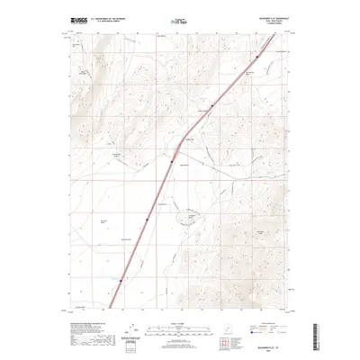
2020 Map of Buckhorn Flat
USGS Topo · Published 2020About this map
Buckhorn Flat and the adjacent Parowan Valley define this high-elevation landscape in Iron County, where the transition from flat basin to steep mountain terrain is sharply marked by the Hurricane Cliffs. The topography is etched by seasonal watercourses like Lees Spring Wash and Fremont Wash, which flow from the southern reaches of the Black Mountains.
Find a feature on this map
38 named features on this map. Tap any name to fly to it.
Don’t see what you’re looking for? This feature index may not catch every label — zoom into the map to look around manually.
Map Details
Editions of this 2020 Buckhorn Flat Map
This is the sole edition of this map. No revisions or reprints were ever made.
Other maps of this area

1885 · Beaver
USGS Topo · 1:250,000

1886 · Kanab
USGS Topo · 1:250,000

1953 · Richfield
USGS Topo · 1:250,000

1953 · Cedar City
USGS Topo · 1:250,000

1958 · Richfield
USGS Topo · 1:250,000

1958 · Cedar City
USGS Topo · 1:250,000

1958 · Minersville
USGS Topo · 1:62,500

1962 · Cedar City
USGS Topo · 1:250,000

1971 · Buckhorn Flat
USGS Topo · 1:24,000

1971 · Paragonah
USGS Topo · 1:24,000