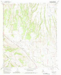
1965 Map of Buckhorn
USGS Topo · Published 1983About this map
Buckhorn serves as a central point of reference in this mid-1960s landscape, where high-desert drainage patterns define the settlement layout. The terrain is characterized by a network of seasonal watercourses and canyons, including Duck Creek and Sacaton Creek, which flow toward the lower elevations near the New Mexico-Grant Co. border. Land use is largely dictated by the availability of water, evidenced by features such as Mud Spring, George Clark Tank, and Horse Lake Tank. The northern edge of the map reaches into the Gila Nat For, while human activity is marked by small settlements like Fivemile and local infrastructure such as a Corral and a Grave. A prominent geological feature known as The Dike cuts across the lower portion of the sheet, illustrating the complex volcanic and erosional history of the region. This survey captures a moment of rural stability before modern development, preserving the locations of cattle tanks and remote wells essential to ranching life.
Find a feature on this map
28 named features on this map. Tap any name to fly to it.
Don’t see what you’re looking for? This feature index may not catch every label — zoom into the map to look around manually.
Map Details
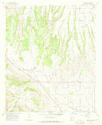
Editions of this 1965 Buckhorn Map
2 editions found
Other maps of this area

1910 · Mogollon
USGS Topo · 1:125,000

1912 · Mogollon
USGS Topo · 1:125,000

1954 · Silver City
USGS Topo · 1:250,000

1954 · Clifton
USGS Topo · 1:250,000

1957 · Clifton
USGS Topo · 1:250,000

1958 · Silver City
USGS Topo · 1:250,000

1958 · Clifton
USGS Topo · 1:250,000

1959 · Steeple Rock
USGS Topo · 1:62,500

1959 · Cliff
USGS Topo · 1:62,500

1962 · Silver City
USGS Topo · 1:250,000