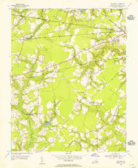
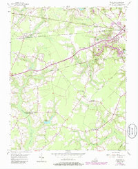
1954 Map of Buckhorn
USGS Topo · Published 1955About this map
Buckhorn (Purvis Sta) serves as a primary rail point in this mid-century landscape, which is defined by a dense web of competing railroad lines crossing the Virginia coastal plain. The Seaboard Air Line, Virginian, Atlantic and Danville, and Norfolk and Western railroads all traverse the terrain, reflecting the intense industrial transit network of the era. This concentration of rail infrastructure supported small rural nodes like Lummis, Manning, and Nurneysville, where community life centered around religious and social hubs like the Somerton Friends Meeting House and the Savage Crossing School.
Find a feature on this map
33 named features on this map. Tap any name to fly to it.
Don’t see what you’re looking for? This feature index may not catch every label — zoom into the map to look around manually.
Map Details
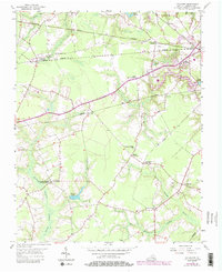
Editions of this 1954 Buckhorn Map
6 editions found
Other maps of this area

1919 · Smithfield
USGS Topo · 1:62,500

1919 · Suffolk
USGS Topo · 1:62,500

1920 · Holland
USGS Topo · 1:62,500

1920 · Ivor
USGS Topo · 1:62,500

1943 · Holland
USGS Topo · 1:62,500

1944 · Windsor
USGS Topo · 1:31,680

1944 · Zuni
USGS Topo · 1:24,000

1945 · Zuni
USGS Topo · 1:31,680

1949 · Chuckatuck
USGS Topo · 1:24,000

1953 · Norfolk
USGS Topo · 1:250,000