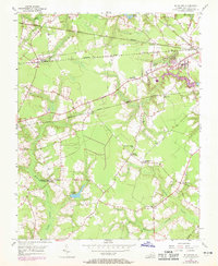
1954 Map of Buckhorn
USGS Topo · Published 1969About this map
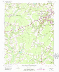
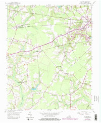
The Tidewater landscape of Nansemond County is defined by a dense network of swampy lowlands and agricultural crossroads during the mid-20th century. Quaker Swamp, Jones Swamp, and Cypress Swamp weave through the southern half of the quadrangle, bordering historic community centers like the Somerton Friends Meeting House and Zion Ch. The intersection of rail and rural life is evident at Buckhorn (Purvis Sta), where the Seaboard Coast Line meets the northern reaches of the county. In the northeast, Kilby and the reservoir at Lake Cohoon mark the transition toward more settled areas, while smaller hamlets like Nurneysville and Manning remain centered on local roads such as Jackson Road. This survey, updated with 1968 aerial revisions, captures the area just before significant modern development altered the rural character of these established Virginia settlements.
Find a feature on this map
37 named features on this map. Tap any name to fly to it.
Don’t see what you’re looking for? This feature index may not catch every label — zoom into the map to look around manually.
Map Details
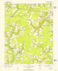
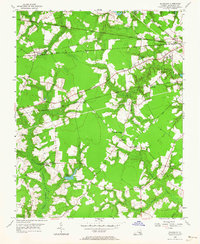
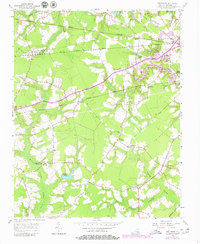
Editions of this 1954 Buckhorn Map
6 editions found
Other maps of this area

1919 · Smithfield
USGS Topo · 1:62,500

1919 · Suffolk
USGS Topo · 1:62,500

1920 · Holland
USGS Topo · 1:62,500

1920 · Ivor
USGS Topo · 1:62,500

1943 · Holland
USGS Topo · 1:62,500

1944 · Windsor
USGS Topo · 1:31,680

1944 · Zuni
USGS Topo · 1:24,000

1945 · Zuni
USGS Topo · 1:31,680

1949 · Chuckatuck
USGS Topo · 1:24,000

1953 · Norfolk
USGS Topo · 1:250,000