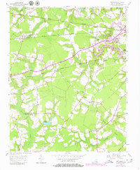
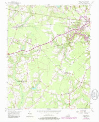
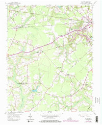
1954 Map of Buckhorn
USGS Topo · Published 1980About this map
Buckhorn (Purvis Sta) and surrounding Tidewater settlements are captured here in a transition period between the mid-1950s and the late 1970s. The landscape is defined by the convergence of major transportation lines, including the Norfolk and Western, Seaboard Coast Line, and Norfolk Franklin and Danville railroads. These iron arteries connected small communities like Lummis, Kenyon, and Manning to the broader regional economy.
Find a feature on this map
27 named features on this map. Tap any name to fly to it.
Don’t see what you’re looking for? This feature index may not catch every label — zoom into the map to look around manually.
Map Details
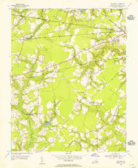
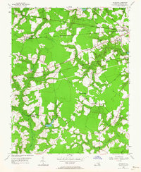
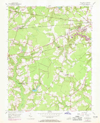
Editions of this 1954 Buckhorn Map
6 editions found
Other maps of this area

1919 · Smithfield
USGS Topo · 1:62,500

1919 · Suffolk
USGS Topo · 1:62,500

1920 · Holland
USGS Topo · 1:62,500

1920 · Ivor
USGS Topo · 1:62,500

1943 · Holland
USGS Topo · 1:62,500

1944 · Windsor
USGS Topo · 1:31,680

1944 · Zuni
USGS Topo · 1:24,000

1945 · Zuni
USGS Topo · 1:31,680

1949 · Chuckatuck
USGS Topo · 1:24,000

1953 · Norfolk
USGS Topo · 1:250,000