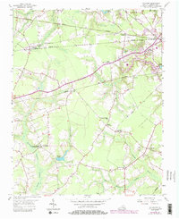
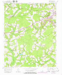
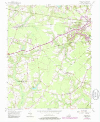
1954 Map of Buckhorn
USGS Topo · Published 1986About this map
The rural landscape of Suffolk City is defined by its intricate network of wetland systems, including Quaker Swamp, Jones Swamp, and Cypress Swamp. These waterways drain toward Norfleet Pond and the larger reservoirs of Lake Cohoon and Lake Kilby in the northeast. The area's social history is anchored by numerous spiritual centers, such as the Somerton Friends Meeting House and Pine Grove Ch, reflecting a long-standing community structure.
Find a feature on this map
36 named features on this map. Tap any name to fly to it.
Don’t see what you’re looking for? This feature index may not catch every label — zoom into the map to look around manually.
Map Details
Editions of this 1954 Buckhorn Map
6 editions found
Other maps of this area

1919 · Smithfield
USGS Topo · 1:62,500

1919 · Suffolk
USGS Topo · 1:62,500

1920 · Holland
USGS Topo · 1:62,500

1920 · Ivor
USGS Topo · 1:62,500

1943 · Holland
USGS Topo · 1:62,500

1944 · Windsor
USGS Topo · 1:31,680

1944 · Zuni
USGS Topo · 1:24,000

1945 · Zuni
USGS Topo · 1:31,680

1949 · Chuckatuck
USGS Topo · 1:24,000

1953 · Norfolk
USGS Topo · 1:250,000