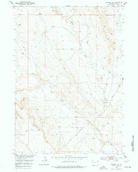
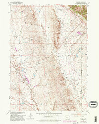
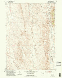
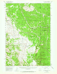
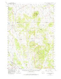
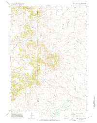
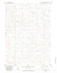
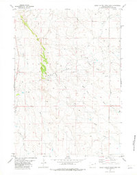
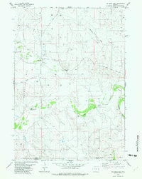
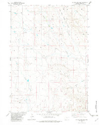
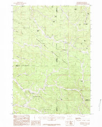
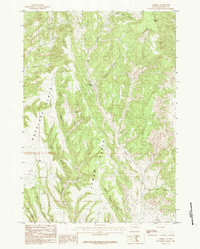
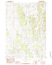
2021 Map of Buckhorn
USGS Topo · Published 2021About this map
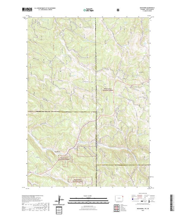
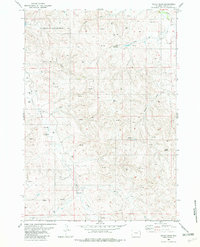
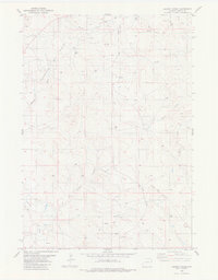
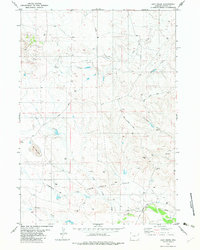
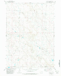
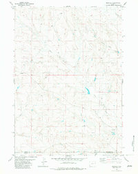
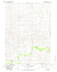
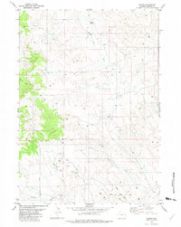
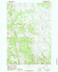
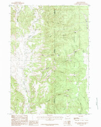
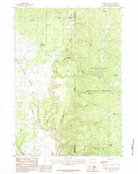
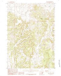
Buckhorn sits at the intersection of high-altitude drainages and forest corridors on the western edge of the Black Hills National Forest. This modern survey illustrates the complex topography where the Wyoming and South Dakota borders meet, defined by deep incisions like Grand Canyon and Riflepit Canyon. The landscape is a network of timber roads and snowmobile trails, including Snow-11 Trl and Snow-3 Trl, which navigate the steep elevations between Laird Peak and O'Neil Pass.
Find a feature on this map
77 named features on this map. Tap any name to fly to it.
Don’t see what you’re looking for? This feature index may not catch every label — zoom into the map to look around manually.
Map Details
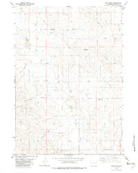
Editions of this 2021 Buckhorn Map
This is the sole edition of this map. No revisions or reprints were ever made.
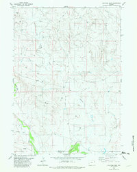
Historical Maps of Buckhorn Through Time
87 maps found
1951 Clifton
Weston County, WY
1951 Dewey SW
Weston County, WY
1951 Fanny Peak
Weston County, WY
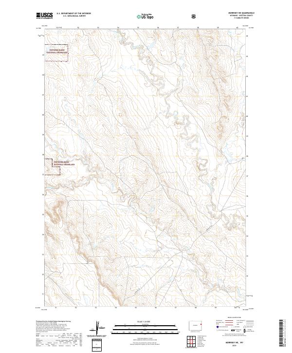
1951 Morrisey NE
Weston County, WY
1951 Osage SE
Weston County, WY
1951 Owens
Weston County, WY
1958 Four Corners
Weston County, WY
1958 Inyan Kara Mountain
Weston County, WY
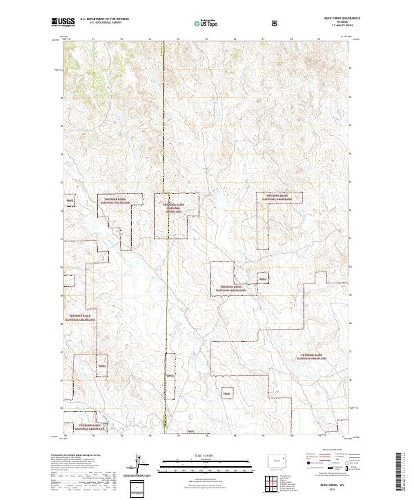
1971 Buck Creek
Weston County, WY
1971 Jim Creek
Weston County, WY
1971 Piney Canyon NE
Weston County, WY
1971 Piney Canyon SE
Weston County, WY
1971 Whitetail Creek SE
Weston County, WY
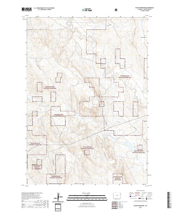
1972 Klodt Reservoir
Weston County, WY
1972 Pedro
Weston County, WY
1982 Cedar Draw
Weston County, WY
1982 Clareton
Weston County, WY
1982 Darlington Draw East
Weston County, WY
1982 Darlington Draw West
Weston County, WY
1982 Dupont Creek
Weston County, WY
1982 Fairview
Weston County, WY
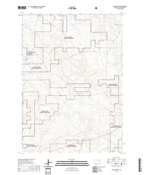
1982 Lassen Creek
Weston County, WY
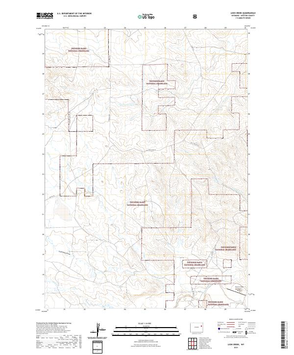
1982 Lion Creek
Weston County, WY
1982 Morrisey SE
Weston County, WY
1982 Morrisey
Weston County, WY
1982 Poddy Creek
Weston County, WY
1982 Raven
Weston County, WY
1982 Sheep Canyon Creek East
Weston County, WY
1982 Sheep Canyon Creek West
Weston County, WY
1982 Soda Butte
Weston County, WY
1982 The Nose East
Weston County, WY
1982 The Nose West
Weston County, WY
1982 Timber Creek
Weston County, WY
1982 West Fork Buffalo Creek
Weston County, WY
1982 Wildlife Draw East
Weston County, WY
1982 Wildlife Draw West
Weston County, WY
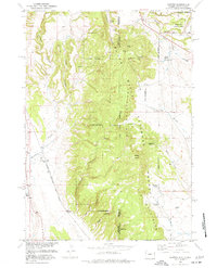
1984 Buckhorn
Weston County, WY
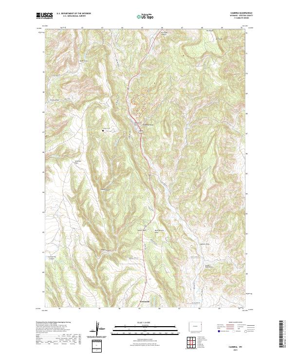
1984 Cambria
Weston County, WY
1984 Clay Spur
Weston County, WY
1984 Four Corners
Weston County, WY
1984 Moon
Weston County, WY
1984 Parmlee Canyon
Weston County, WY
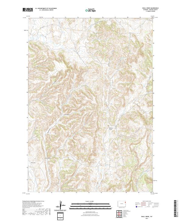
1984 Skull Creek
Weston County, WY
1984 Upton East
Weston County, WY
1984 Upton West
Weston County, WY
2021 Buck Creek
Weston County, WY
2021 Buckhorn
Weston County, WY
2021 Cambria
Weston County, WY
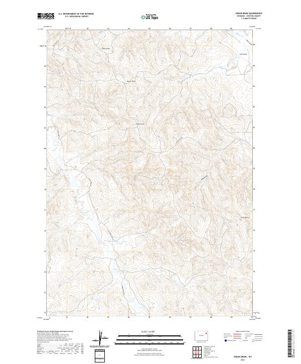
2021 Cedar Draw
Weston County, WY
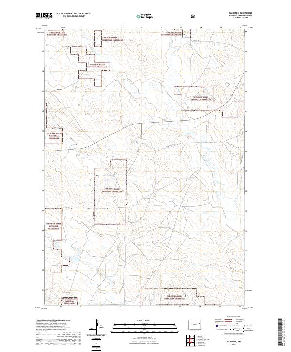
2021 Clareton
Weston County, WY
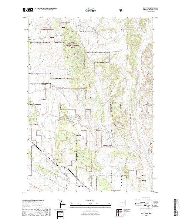
2021 Clay Spur
Weston County, WY
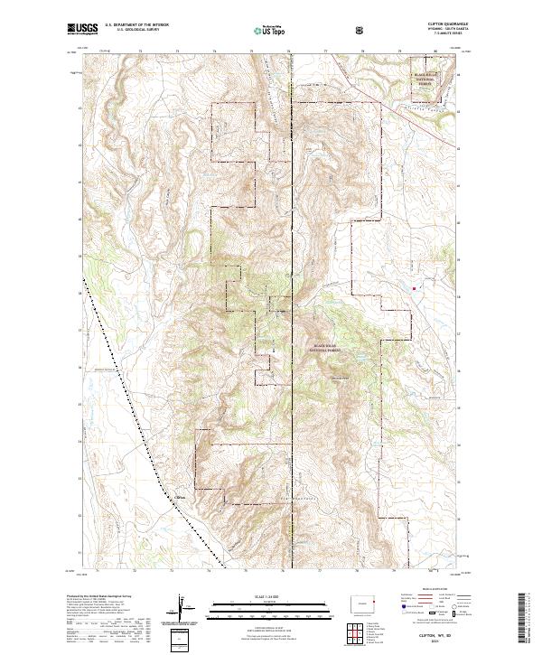
2021 Clifton
Weston County, WY
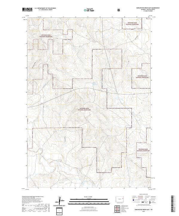
2021 Darlington Draw East
Weston County, WY
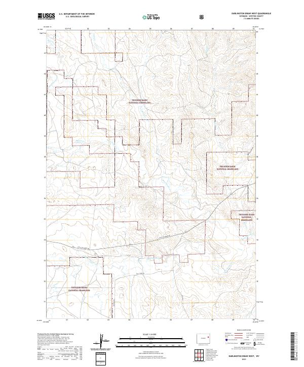
2021 Darlington Draw West
Weston County, WY
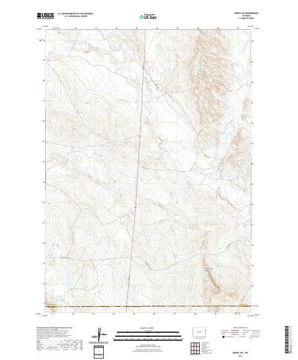
2021 Dewey SW
Weston County, WY
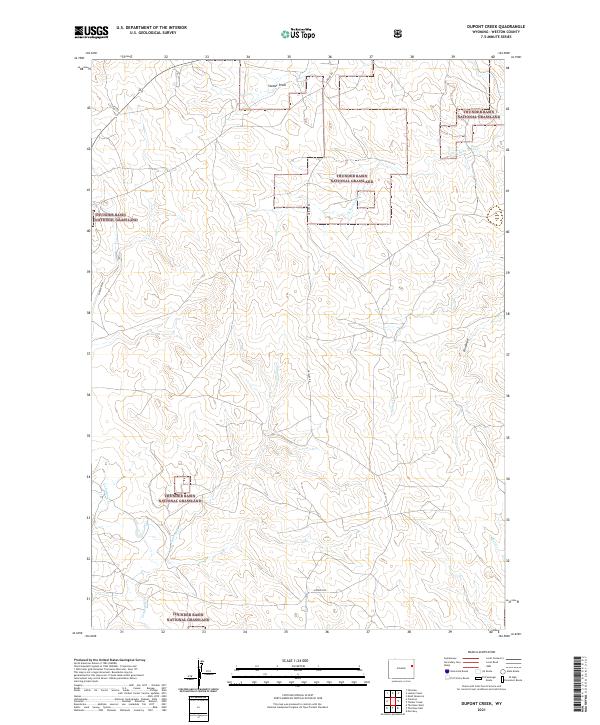
2021 Dupont Creek
Weston County, WY
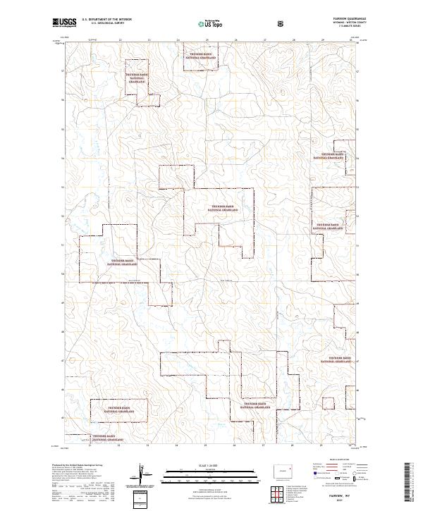
2021 Fairview
Weston County, WY
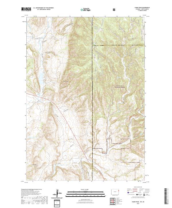
2021 Fanny Peak
Weston County, WY
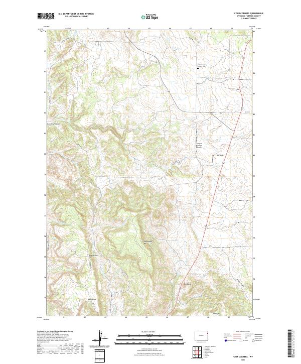
2021 Four Corners
Weston County, WY
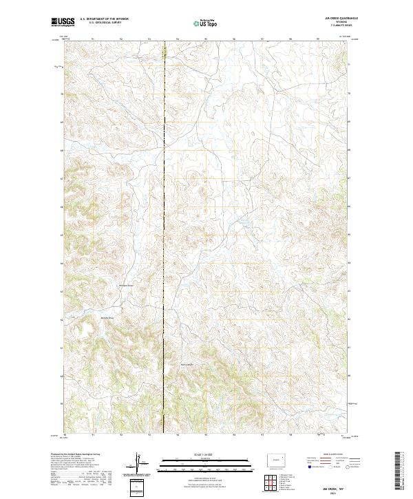
2021 Jim Creek
Weston County, WY
2021 Klodt Reservoir
Weston County, WY
2021 Lassen Creek
Weston County, WY
2021 Lion Creek
Weston County, WY
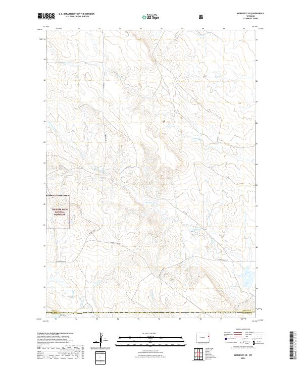
2021 Morrisey NE
Weston County, WY
2021 Morrisey SE
Weston County, WY
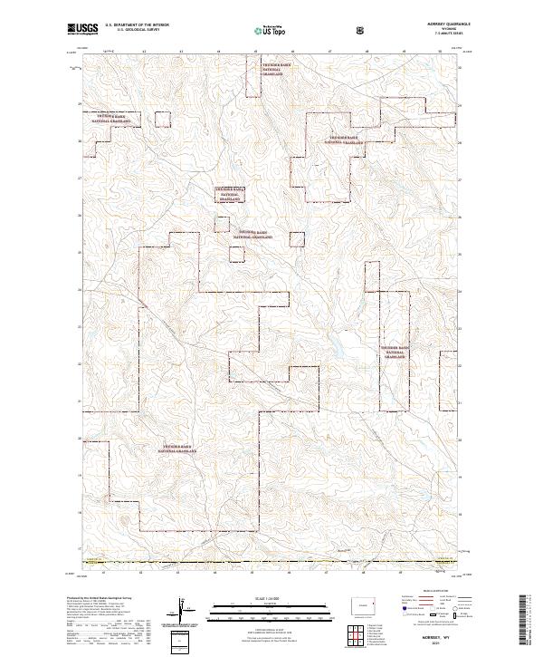
2021 Morrisey
Weston County, WY
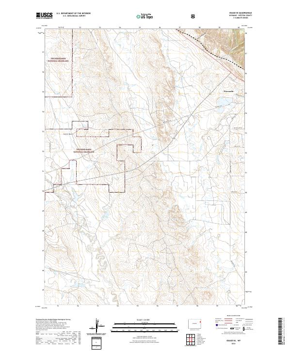
2021 Osage SE
Weston County, WY
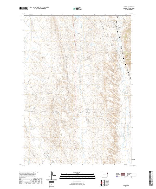
2021 Owens
Weston County, WY
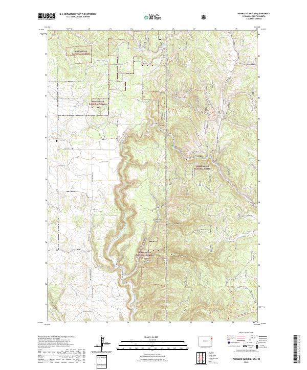
2021 Parmlee Canyon
Weston County, WY
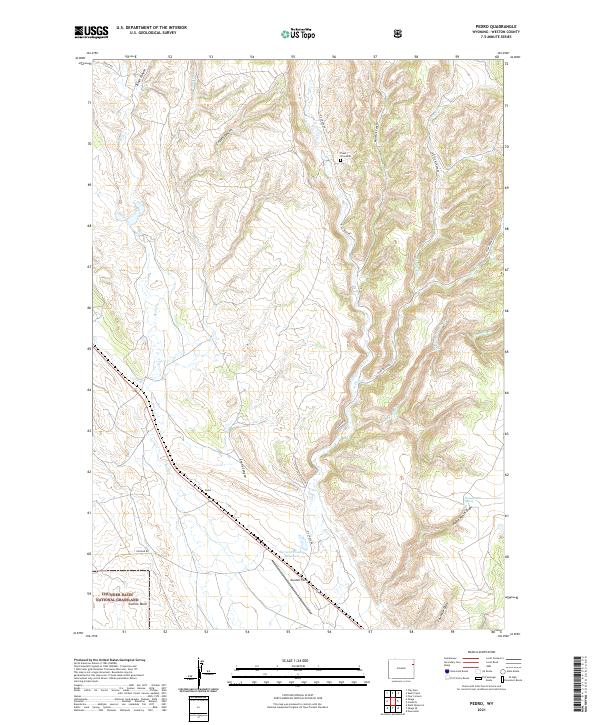
2021 Pedro
Weston County, WY
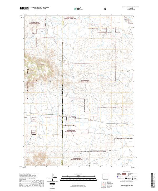
2021 Piney Canyon NE
Weston County, WY
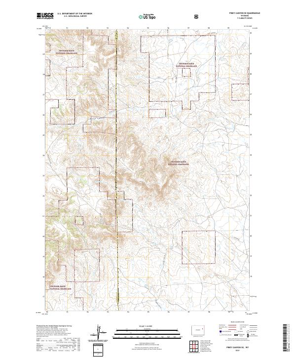
2021 Piney Canyon SE
Weston County, WY
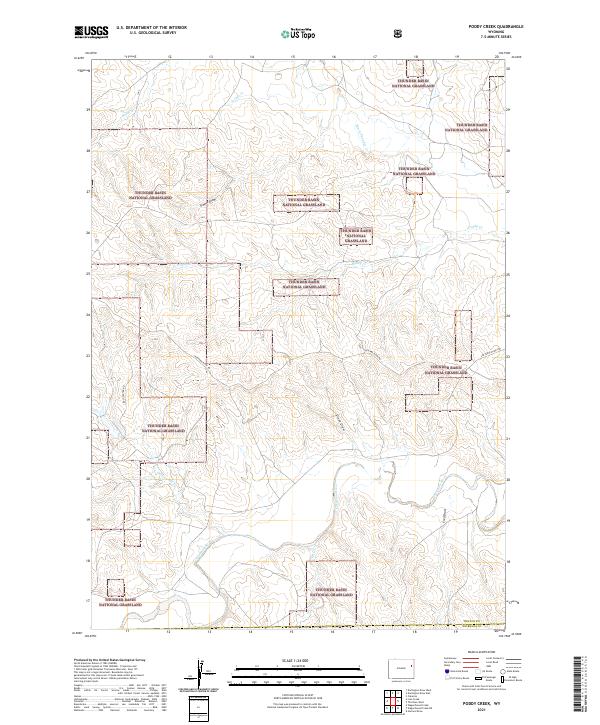
2021 Poddy Creek
Weston County, WY
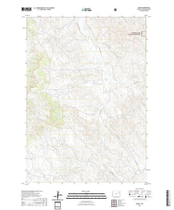
2021 Raven
Weston County, WY
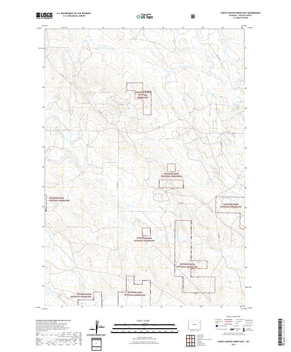
2021 Sheep Canyon Creek East
Weston County, WY
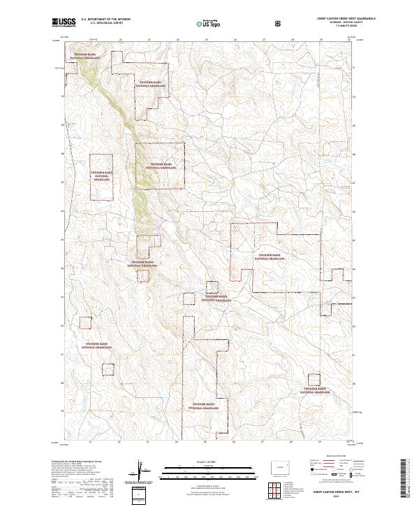
2021 Sheep Canyon Creek West
Weston County, WY
2021 Skull Creek
Weston County, WY
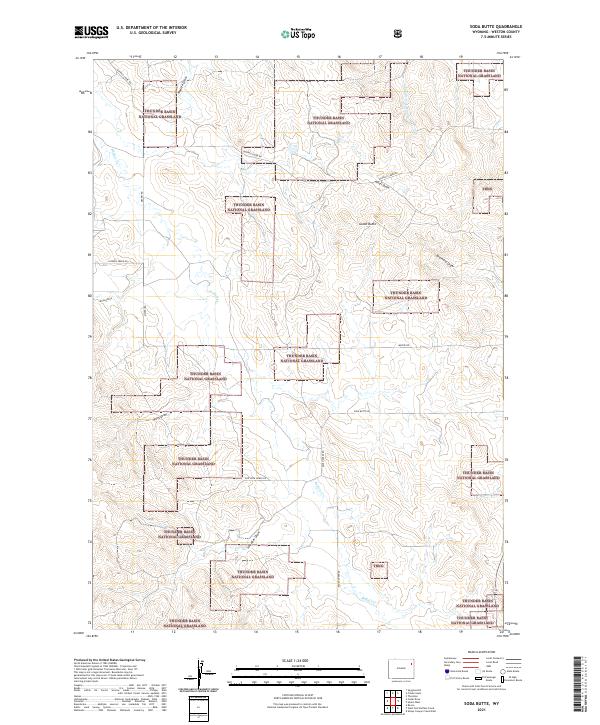
2021 Soda Butte
Weston County, WY
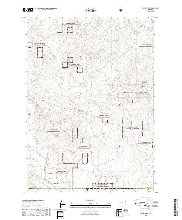
2021 The Nose East
Weston County, WY
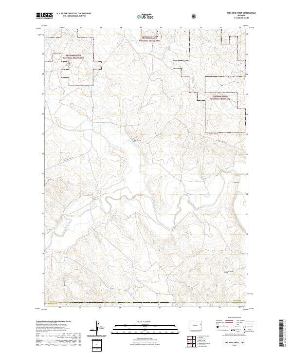
2021 The Nose West
Weston County, WY
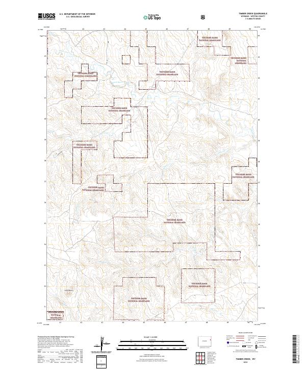
2021 Timber Creek
Weston County, WY
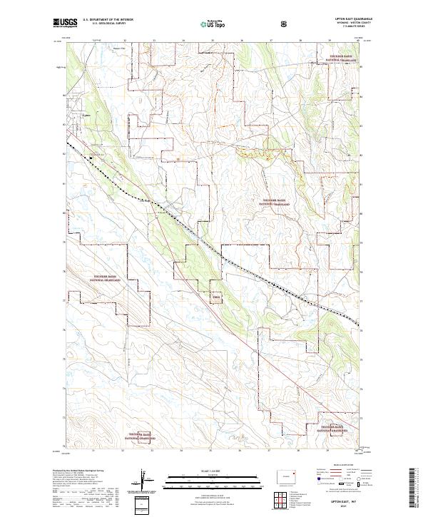
2021 Upton East
Weston County, WY
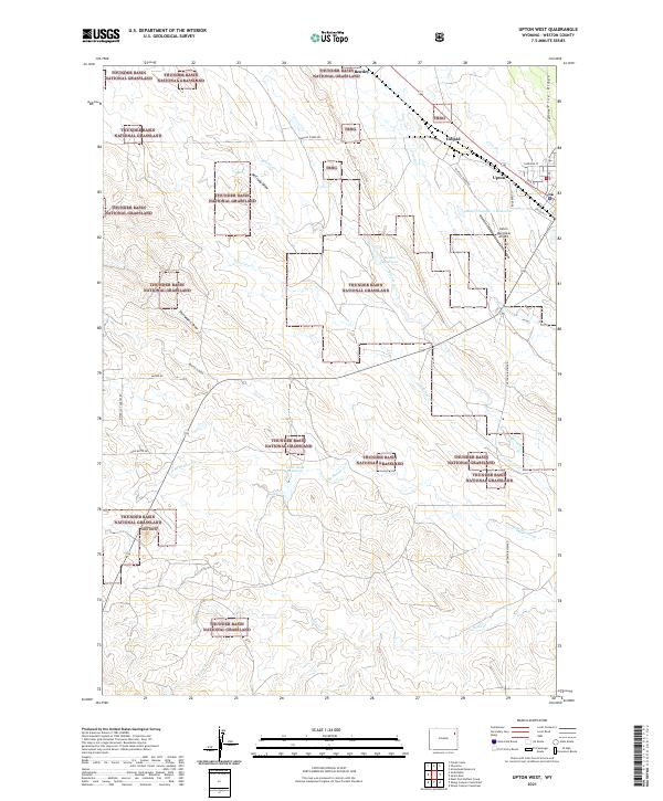
2021 Upton West
Weston County, WY
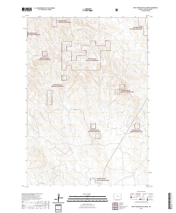
2021 West Fork Buffalo Creek
Weston County, WY
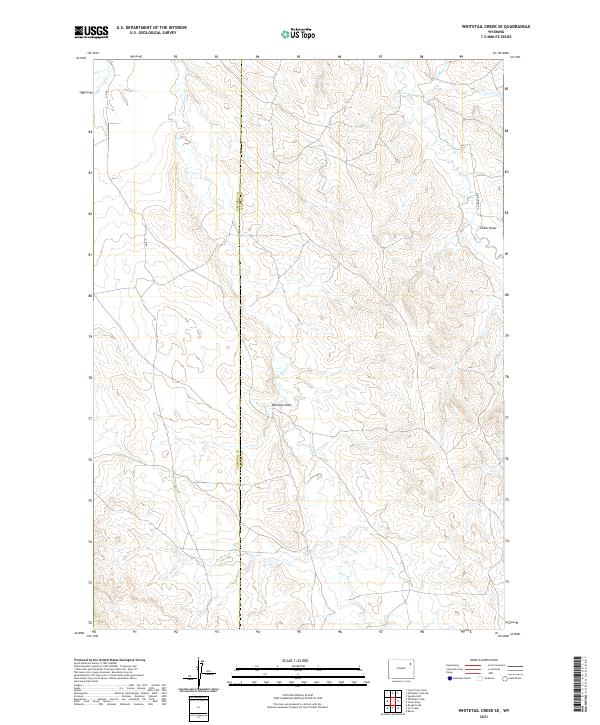
2021 Whitetail Creek SE
Weston County, WY
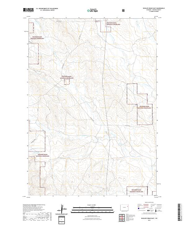
2021 Wildlife Draw East
Weston County, WY
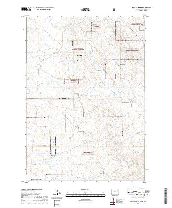
2021 Wildlife Draw West
Weston County, WY