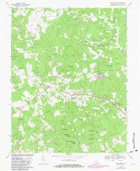
1968 Map of Buckingham
USGS Topo · Published 1982About this map
The Piedmont landscape of central Virginia is defined here by the winding course of the Slate River and its numerous tributaries. Settled nodes like Buckingham and Enonville serve as anchors for a community of scattered homesteads, country churches, and family cemeteries. The presence of Slate River Mills and the Horsepen Wildlife Management Area suggests a balance between early industrial activity and modern conservation efforts. Educational life centers around the Buckingham County High Sch and the County Vocational Sch at the eastern edge of the survey area.
Find a feature on this map
45 named features on this map. Tap any name to fly to it.
Don’t see what you’re looking for? This feature index may not catch every label — zoom into the map to look around manually.
Map Details
Editions of this 1968 Buckingham Map
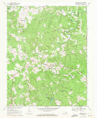
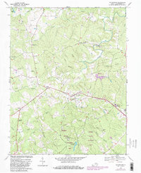
3 editions found
Other maps of this area

1891 · Palmyra
USGS Topo · 1:125,000

1891 · Farmville
USGS Topo · 1:125,000

1892 · Buckingham
USGS Topo · 1:125,000

1892 · Appomattox
USGS Topo · 1:125,000

1893 · Farmville
USGS Topo · 1:125,000

1895 · Palmyra
USGS Topo · 1:125,000

1897 · Palmyra
USGS Topo · 1:125,000

1947 · Roanoke
USGS Topo · 1:250,000

1950 · Dillwyn
USGS Topo · 1:62,500

1958 · Farmville
USGS Topo · 1:62,500