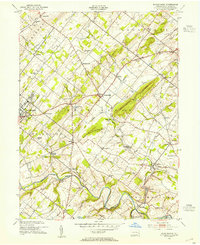
1953 Map of Buckingham
USGS Topo · Published 1954About this map
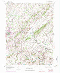
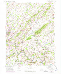
Buckingham Valley Mill and the rising ridge of Buckingham Mountain anchor this mid-century survey of the Pennsylvania countryside. The landscape is defined by the winding course of Neshaminy Creek and its many tributaries, such as Lahaska Creek and Watson Creek, which shaped the early settlement patterns of townships like Doylestown and Wrightstown. The agricultural and industrial character of the era is evident in the numerous small crossroads communities, from Gardenville in the north to Jamison in the south, many of which are centered around local landmarks like the Fairgrounds or Friendship School.
Find a feature on this map
56 named features on this map. Tap any name to fly to it.
Don’t see what you’re looking for? This feature index may not catch every label — zoom into the map to look around manually.
Map Details
Editions of this 1953 Buckingham Map
7 editions found
Other maps of this area

1890 · Lambertville
USGS Topo · 1:62,500

1890 · Doylestown
USGS Topo · 1:62,500

1890 · Burlington
USGS Topo · 1:62,500

1891 · Lambertville
USGS Topo · 1:62,500

1891 · Doylestown
USGS Topo · 1:62,500

1893 · Germantown
USGS Topo · 1:62,500

1893 · Burlington
USGS Topo · 1:62,500

1894 · Lambertville
USGS Topo · 1:62,500

1894 · Germantown
USGS Topo · 1:62,500

1896 · Germantown
USGS Topo · 1:62,500
Featured Places
- Warrington Township, PA
- Buckingham Township, PA
- Solebury Township, PA
- Doylestown, PA
- Wrightstown Township, PA