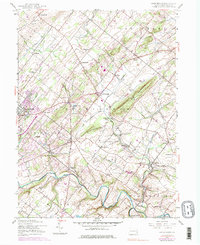
1953 Map of Buckingham
USGS Topo · Published 1974About this map
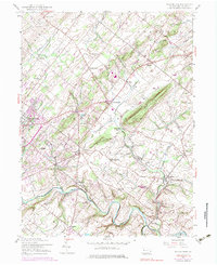
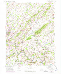
Buckingham Mountain anchors the landscape of central Bucks County, rising above a network of farming hamlets and historic crossroads. This 1953 survey, with revisions through the early 1970s, captures the rural character of Buckingham and Solebury townships before the significant suburban expansion of the late 20th century. The Reading railroad line cuts through the valley, serving small stations and depots like Bycot Sta and Buckingham Valley. Along the southern reaches, Neshaminy Creek winds past Rushland and Bridge Valley, illustrating the traditional reliance on waterpower and creek-side transport. The map documents numerous community institutions, from the Solebury Ch and Mt Gilead Ch to several local schools, providing a detailed record of the social geography of the region. The inclusion of the Central Bucks County Municipal Airport near Doylestown signals the area's mid-century modernization within an otherwise agricultural setting.
Find a feature on this map
60 named features on this map. Tap any name to fly to it.
Don’t see what you’re looking for? This feature index may not catch every label — zoom into the map to look around manually.
Map Details
Editions of this 1953 Buckingham Map
7 editions found
Other maps of this area

1890 · Lambertville
USGS Topo · 1:62,500

1890 · Doylestown
USGS Topo · 1:62,500

1890 · Burlington
USGS Topo · 1:62,500

1891 · Lambertville
USGS Topo · 1:62,500

1891 · Doylestown
USGS Topo · 1:62,500

1893 · Germantown
USGS Topo · 1:62,500

1893 · Burlington
USGS Topo · 1:62,500

1894 · Lambertville
USGS Topo · 1:62,500

1894 · Germantown
USGS Topo · 1:62,500

1896 · Germantown
USGS Topo · 1:62,500
Featured Places
- Warrington Township, PA
- Buckingham Township, PA
- Solebury Township, PA
- Doylestown, PA
- Wrightstown Township, PA