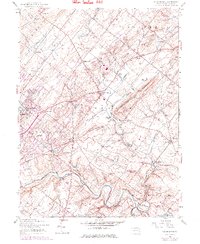
1953 Map of Buckingham
USGS Topo · Published 1975About this map
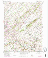
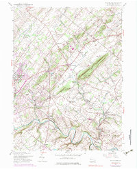
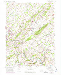
Buckingham Mountain and Little Buckingham Mtn dominate the central landscape of this Bucks County survey, which documents a transition from traditional farming communities to a suburbanizing countryside. The Reading railroad corridor serves as a spine through the valley, passing landmarks like Bycot Sta and connecting established villages such as Lahaska and Buckingham. The map highlights numerous small local institutions that anchored these rural townships, including the Gardenville Sch, Mt Gilead Ch, and Plumstead Cem. In the west, the Central Bucks County Municipal Airport and emerging developments around Pebble Hill reflect the mid-century growth of the Doylestown periphery, while the winding course of Neshaminy Creek and Pidcock Creek maintain the area's original hydrologic character.
Find a feature on this map
56 named features on this map. Tap any name to fly to it.
Don’t see what you’re looking for? This feature index may not catch every label — zoom into the map to look around manually.
Map Details
Editions of this 1953 Buckingham Map
7 editions found
Other maps of this area

1890 · Lambertville
USGS Topo · 1:62,500

1890 · Doylestown
USGS Topo · 1:62,500

1890 · Burlington
USGS Topo · 1:62,500

1891 · Lambertville
USGS Topo · 1:62,500

1891 · Doylestown
USGS Topo · 1:62,500

1893 · Germantown
USGS Topo · 1:62,500

1893 · Burlington
USGS Topo · 1:62,500

1894 · Lambertville
USGS Topo · 1:62,500

1894 · Germantown
USGS Topo · 1:62,500

1896 · Germantown
USGS Topo · 1:62,500
Featured Places
- Warrington Township, PA
- Buckingham Township, PA
- Solebury Township, PA
- Doylestown, PA
- Wrightstown Township, PA